
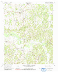
1966 Map of Mc Lemoresville
USGS Topo · Published 1967About this map
McLemoresville sits at the center of a complex hydrological and transport network in West Tennessee, where the Rutherford Fork Obion River and its numerous tributaries like White Oak Creek and Mill Branch carve through the landscape. The infrastructure of the mid-1960s reflects a transition from earlier rail-dependent economies to a road-based system, evidenced by the presence of an Old Railroad Grade and an Old RR Grade running through the northern part of the map.
Find a feature on this map
34 named features on this map. Tap any name to fly to it.
Don’t see what you’re looking for? This feature index may not catch every label — zoom into the map to look around manually.
Map Details
Editions of this 1966 Mc Lemoresville Map
2 editions found
Other maps of this area

1936 · Clarksburg
USGS Topo · 1:24,000

1936 · Center Ridge
USGS Topo · 1:24,000

1950 · Palmer Shelter
USGS Topo · 1:24,000

1950 · Clarksburg
USGS Topo · 1:24,000

1955 · Huntingdon
USGS Topo · 1:24,000

1956 · Dyersburg
USGS Topo · 1:250,000

1956 · Blytheville
USGS Topo · 1:250,000

1959 · Blytheville
USGS Topo · 1:250,000

1966 · Spring Creek
USGS Topo · 1:24,000

1966 · Atwood
USGS Topo · 1:24,000