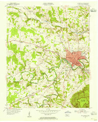
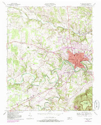
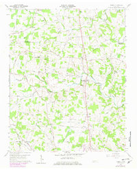
1953 Map of Mc Minnville
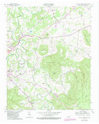
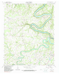
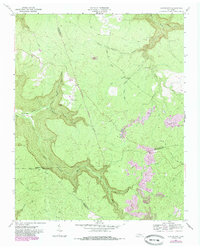
USGS Topo · Published 1955This historical map portrays the area of Mc Minnville in 1953, primarily covering Warren County. Featuring a scale of 1:24000, this map provides a highly detailed snapshot of the terrain, roads, buildings, counties, and historical landmarks in the Mc Minnville region at the time. Published in 1955, it is one of 4 known editions of this map due to revisions or reprints.
Find a feature on this map
84 named features on this map. Tap any name to fly to it.
Don’t see what you’re looking for? This feature index may not catch every label — zoom into the map to look around manually.
Map Details
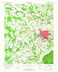
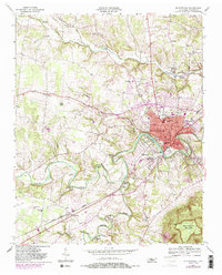
Editions of this 1953 Mc Minnville Map
4 editions found
Historical Maps of Daylight Through Time
9 maps found

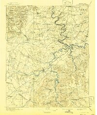
1893 Mc Minnville
Warren County, TN
1895 Mc Minnville
Warren County, TN
1953 Mc Minnville
Warren County, TN
1957 Cardwell Mountain
Warren County, TN
1960 Campaign
Warren County, TN
1960 Curtistown
Warren County, TN
1960 Dibrell
Warren County, TN
1960 Irving College
Warren County, TN

1981 Mc Minnville
Warren County, TN