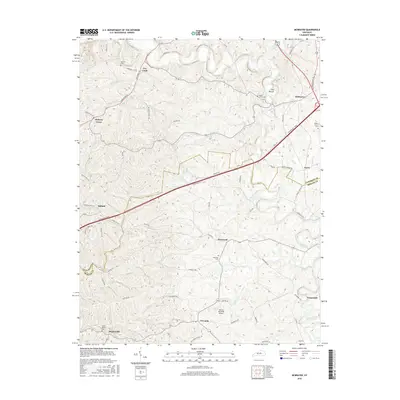
2016 Map of McBrayer
USGS Topo · Published 2016About this map
The Salt River winds through this central Kentucky landscape, defining the boundary between Anderson Co and Mercer Co. This region is characterized by small, dispersed rural settlements and family-named landmarks that speak to generations of residency. Hamlets such as McBrayer, Fox Creek, and Dugansville are connected by a network of winding local roads like Bardstown Rd and Fox Creek Rd, while the Bluegrass Pkwy cuts a modern path across the rolling terrain. Genealogists will find significant value in the numerous small burial grounds plotted here, including Mullins Cem, Bond-McCoy Cem, and Kirkwood Cem. The presence of the Harold Reynolds Airport and the distinct topographic feature known as The Mound further distinguish this section of the Bluegrass region, where agriculture and small-town life remain the primary influences on the land.
Find a feature on this map
72 named features on this map. Tap any name to fly to it.
Don’t see what you’re looking for? This feature index may not catch every label — zoom into the map to look around manually.
Map Details
Editions of this 2016 McBrayer Map
This is the sole edition of this map. No revisions or reprints were ever made.
Other maps of this area

1905 · Harrodsburg
USGS Topo · 1:125,000

1922 · Frankfort
USGS Topo · 1:48,000

1923 · Waddy
USGS Topo · 1:48,000

1924 · Frankfort
USGS Topo · 1:62,500

1925 · Mount Eden
USGS Topo · 1:48,000

1927 · Mount Eden
USGS Topo · 1:62,500

1951 · Lawrenceburg
USGS Topo · 1:24,000

1952 · Harrodsburg
USGS Topo · 1:24,000

1952 · Cornishville
USGS Topo · 1:24,000

1952 · Ashbrook
USGS Topo · 1:24,000