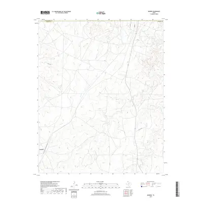
2019 Map of McBride
USGS Topo · Published 2019About this map
The settlement of McBride sits in the southwestern reaches of this Panhandle landscape, where the open terrain is defined by a dendritic network of seasonal creek beds. The drainage systems of Hill Cr and W Hill Cr intersect with the more prominent Rock Cr, creating a topography of gradual rises and shallow draws characteristic of the region. This 2019 survey documents a landscape of large-scale land use, evidenced by infrastructure like Pipeline Rd and Four Sixes Rd. The boundary between Hutchison County and Carson County runs across the northern edge, while local connectivity is maintained through rural routes like Co Rd 29 and Milner Rd. Further east, W Dixon Cr and Middle Dixon Cr carve through the plains, highlighting the subtle but vital water resources that have historically influenced settlement and grazing patterns in this part of Texas.
Find a feature on this map
14 named features on this map. Tap any name to fly to it.
Don’t see what you’re looking for? This feature index may not catch every label — zoom into the map to look around manually.
Map Details
Editions of this 2019 McBride Map
This is the sole edition of this map. No revisions or reprints were ever made.
Other maps of this area

1939 · Sanford
USGS Topo · 1:62,500

1953 · Sanford
USGS Topo · 1:24,000

1953 · Deal
USGS Topo · 1:24,000

1953 · Borger SE
USGS Topo · 1:24,000

1953 · Pomeroy
USGS Topo · 1:24,000

1953 · McBride
USGS Topo · 1:24,000

1953 · Phillips
USGS Topo · 1:24,000

1953 · Borger
USGS Topo · 1:24,000

1954 · Amarillo
USGS Topo · 1:250,000

1958 · Amarillo
USGS Topo · 1:250,000