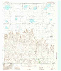
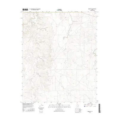
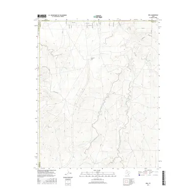
1953 Map of McBride
USGS Topo · Published 1979About this map
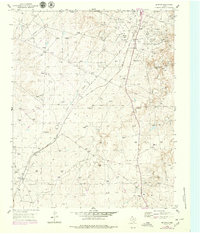
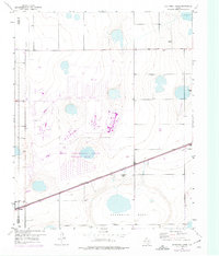
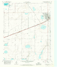
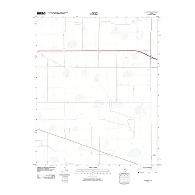
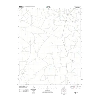
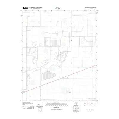
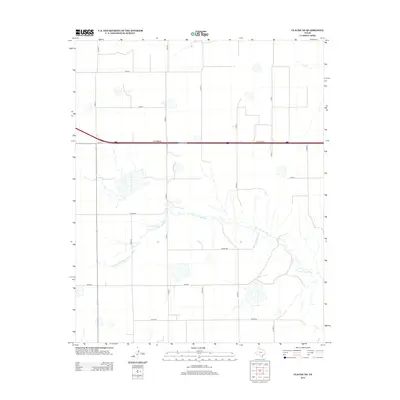
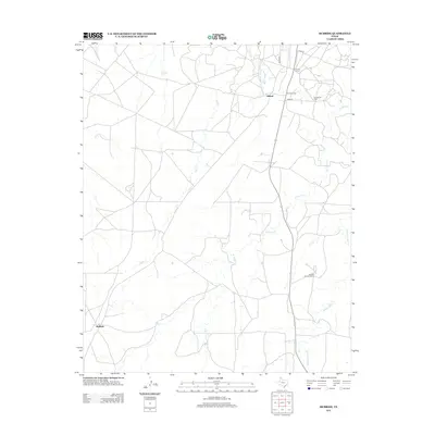
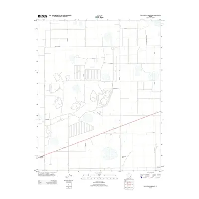
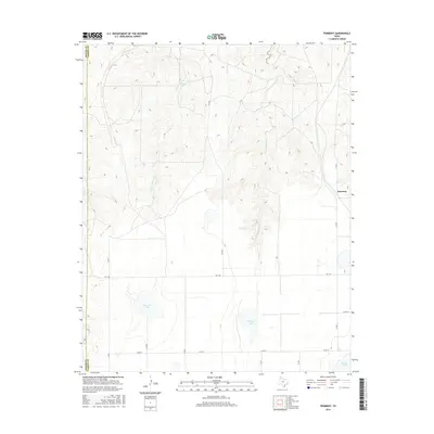
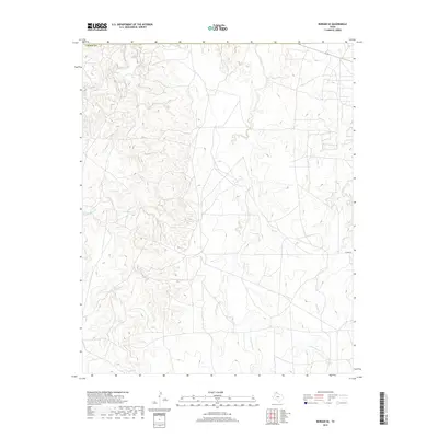
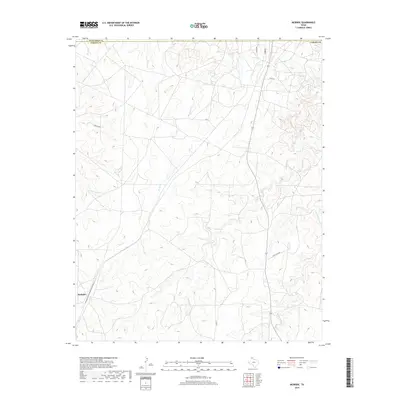
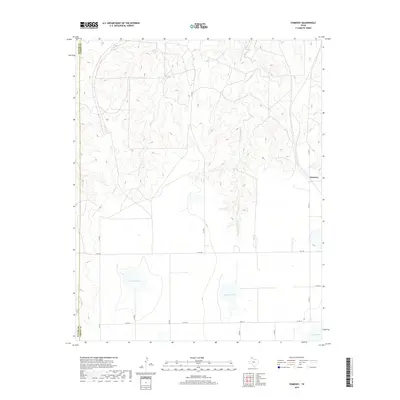
The Burnett Oil Field dominates this 1950s landscape in the Texas Panhandle, showing a dense network of extraction infrastructure concentrated along the Hutchinson and Carson County line. The petroleum industry defined local settlement patterns during this era, evidenced by worker outposts like Carsons Camp and Burnett Camp, alongside industrial hubs such as the Carson Plant. Transportation is anchored by the Panhandle and Santa Fe railroad, which skirts the western edge near Mc Bride. Beyond the oil derricks and pipelines, the map documents the natural drainage of Dixon Creek and its tributaries, while an extensive Aqueduct system and an Oil Tank Farm (Abandoned) reveal the evolving management of resources. The presence of the 6666 Ranch in the southeast quadrant provides a glimpse into the enduring cattle ranching heritage that coexisted with the region's energy boom.
Find a feature on this map
18 named features on this map. Tap any name to fly to it.
Don’t see what you’re looking for? This feature index may not catch every label — zoom into the map to look around manually.
Map Details
Editions of this 1953 McBride Map
2 editions found
Historical Maps of Hillard Through Time
78 maps found
1953 Borger SE
Carson County, TX
1953 Deal
Carson County, TX
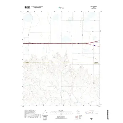
1953 McBride
Carson County, TX

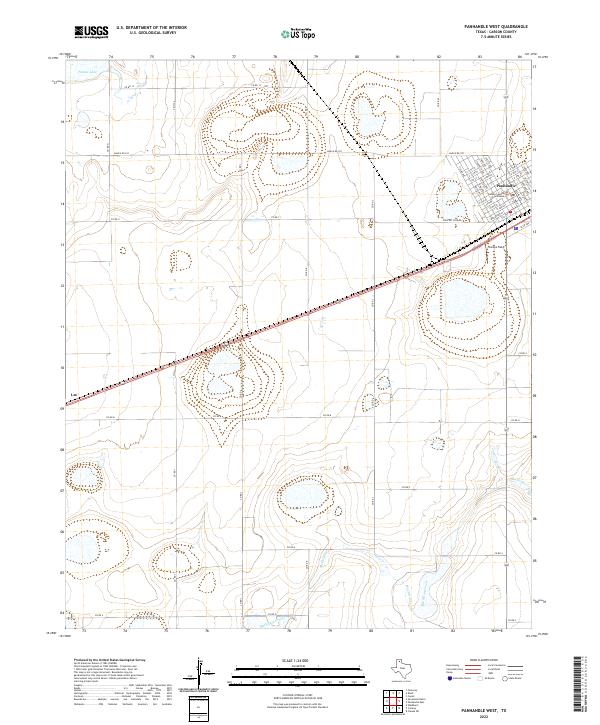
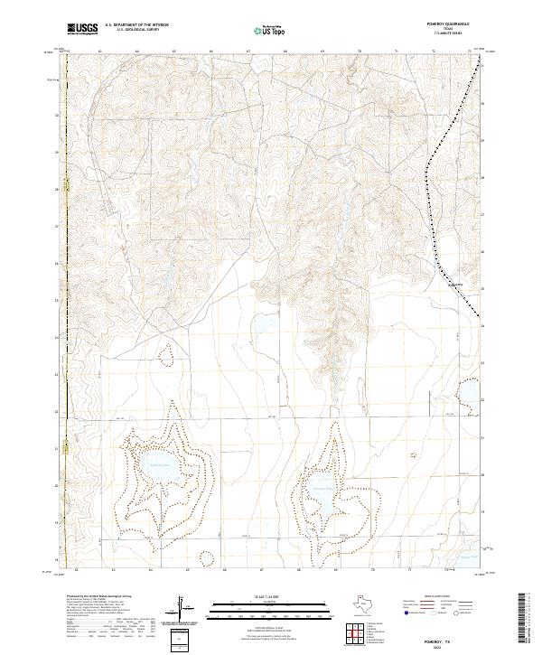
1953 Pomeroy
Carson County, TX
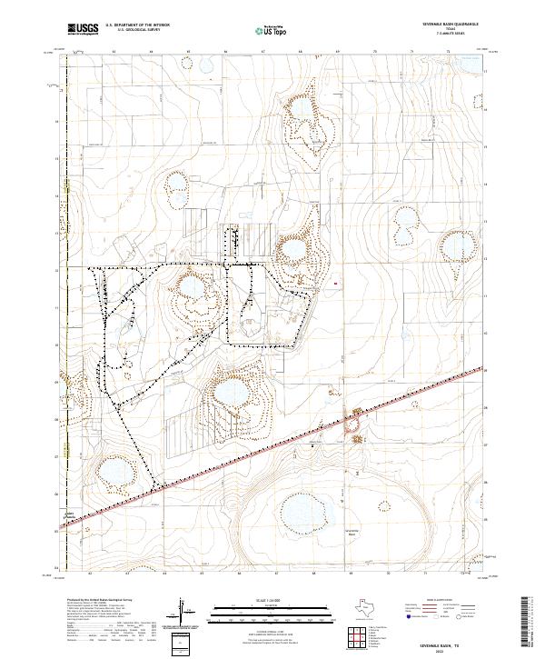
1953 Sevenmile Basin
Carson County, TX
1965 Abell
Carson County, TX
1966 Cuyler
Carson County, TX
1966 Panhandle East
Carson County, TX
1966 Panhandle West
Carson County, TX
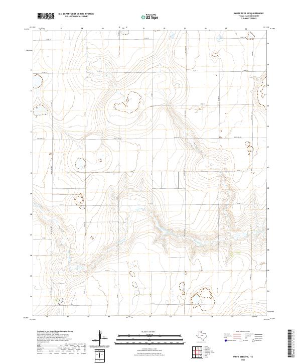
1966 White Deer SW
Carson County, TX
1983 Claude NE
Carson County, TX
1983 Conway
Carson County, TX
1983 Lark
Carson County, TX
2010 Abell
Carson County, TX
2010 Borger SE
Carson County, TX
2010 Claude NE
Carson County, TX
2010 Conway
Carson County, TX
2010 Cuyler
Carson County, TX
2010 Deal
Carson County, TX
2010 Lark
Carson County, TX
2010 McBride
Carson County, TX
2010 Panhandle East
Carson County, TX
2010 Panhandle West
Carson County, TX
2010 Pomeroy
Carson County, TX
2010 Sevenmile Basin
Carson County, TX
2010 White Deer SW
Carson County, TX
2012 Abell
Carson County, TX
2012 Borger SE
Carson County, TX
2012 Claude NE
Carson County, TX
2012 Conway
Carson County, TX
2012 Cuyler
Carson County, TX
2012 Lark
Carson County, TX
2012 McBride
Carson County, TX
2012 Panhandle East
Carson County, TX
2012 Panhandle West
Carson County, TX
2012 Pomeroy
Carson County, TX
2012 Sevenmile Basin
Carson County, TX
2012 White Deer SW
Carson County, TX
2013 Deal
Carson County, TX
2016 Abell
Carson County, TX
2016 Borger SE
Carson County, TX
2016 Claude NE
Carson County, TX
2016 Conway
Carson County, TX
2016 Cuyler
Carson County, TX
2016 Deal
Carson County, TX
2016 Lark
Carson County, TX
2016 McBride
Carson County, TX

2016 Panhandle East
Carson County, TX
2016 Panhandle West
Carson County, TX
2016 Pomeroy
Carson County, TX
2016 Sevenmile Basin
Carson County, TX
2016 White Deer SW
Carson County, TX
2019 Abell
Carson County, TX
2019 Borger SE
Carson County, TX

2019 Claude NE
Carson County, TX
2019 Conway
Carson County, TX
2019 Cuyler
Carson County, TX
2019 Deal
Carson County, TX
2019 Lark
Carson County, TX
2019 McBride
Carson County, TX
2019 Panhandle East
Carson County, TX
2019 Panhandle West
Carson County, TX
2019 Pomeroy
Carson County, TX
2019 Sevenmile Basin
Carson County, TX
2019 White Deer SW
Carson County, TX
2022 Abell
Carson County, TX
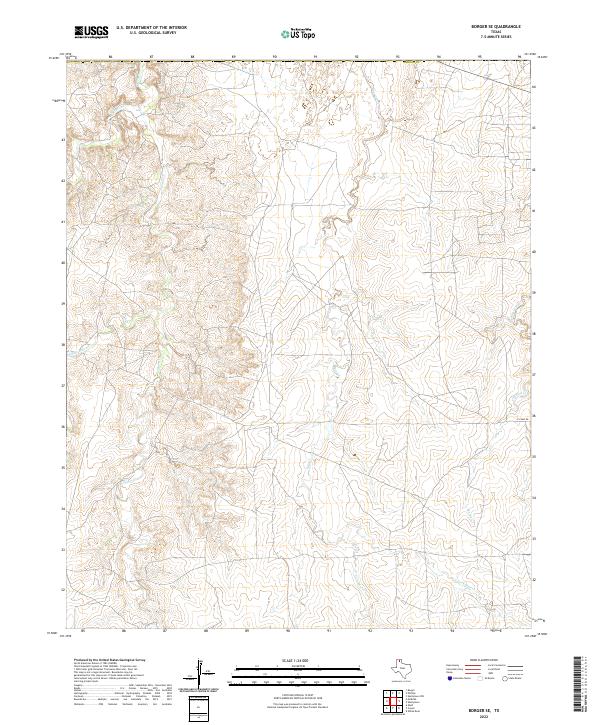
2022 Borger SE
Carson County, TX
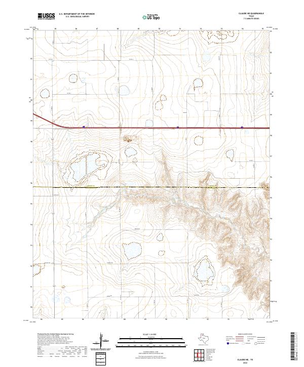
2022 Claude NE
Carson County, TX
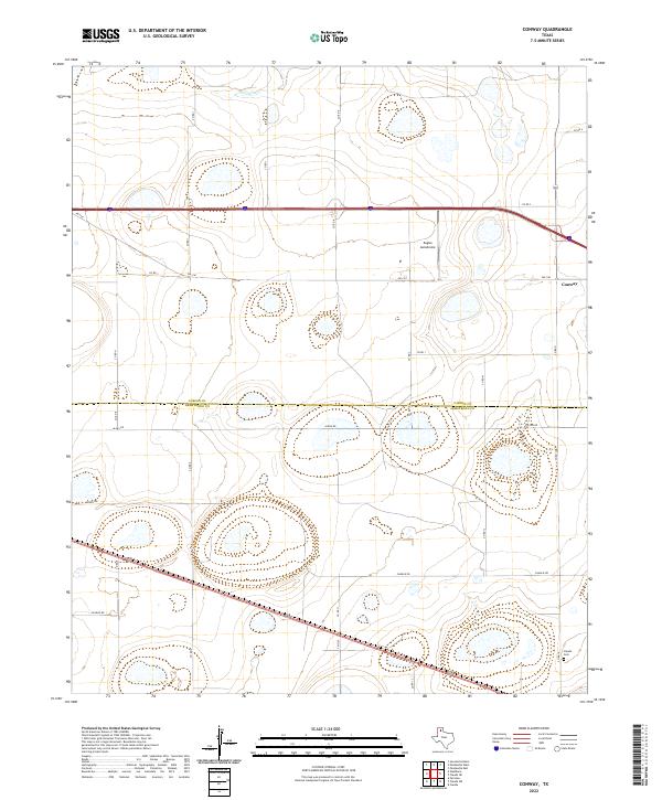
2022 Conway
Carson County, TX
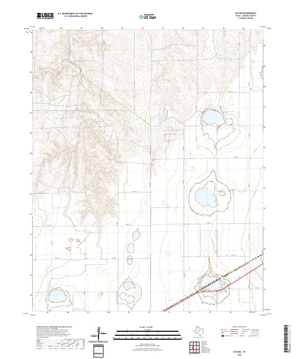
2022 Cuyler
Carson County, TX
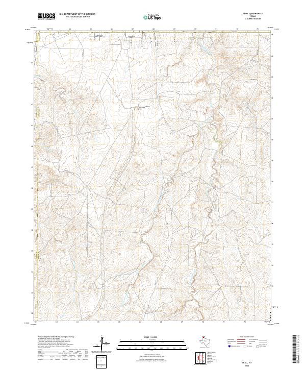
2022 Deal
Carson County, TX
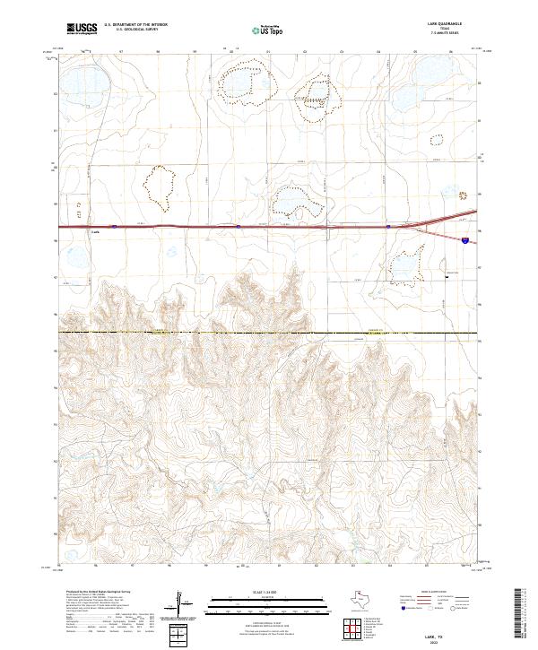
2022 Lark
Carson County, TX
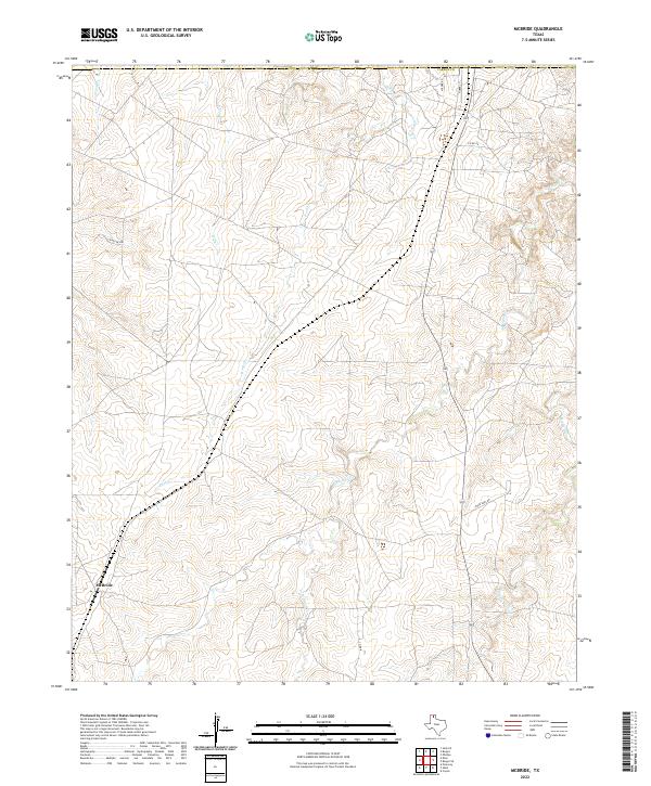
2022 McBride
Carson County, TX
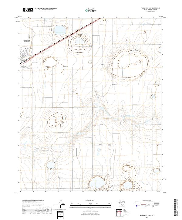
2022 Panhandle East
Carson County, TX
2022 Panhandle West
Carson County, TX
2022 Pomeroy
Carson County, TX
2022 Sevenmile Basin
Carson County, TX
2022 White Deer SW
Carson County, TX