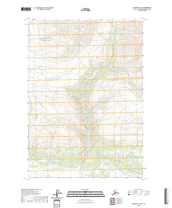
2023 Map of McCarthy A-4 NE
USGS Topo · Published 2023About this map
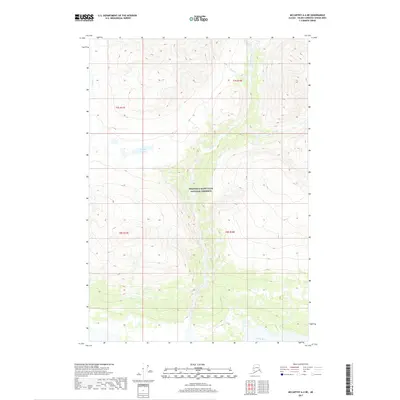
The Saint Elias Mountains define the high-elevation character of this Alaskan interior landscape, where the Wrangell-Saint Elias National Preserve meets the protected reaches of the Wrangell-St. Elias Wilderness. The terrain is characterized by sharp relief and a complex drainage system, with Canyon Creek and its tributaries cutting through the center of the sheet. To the west, the prominent MacColl Ridge stands over the valley of Young Creek. High-country water features like the Big Bend Lakes and the headwaters of Erickson Creek illustrate the untouched hydrological network of the Copper River Census Area. This map captures a modern view of one of the most remote federal landholdings in the United States, illustrating the intersections of Township and Range lines across undeveloped peaks and glacial valleys.
Find a feature on this map
13 named features on this map. Tap any name to fly to it.
Don’t see what you’re looking for? This feature index may not catch every label — zoom into the map to look around manually.
Map Details
Editions of this 2023 McCarthy A-4 NE Map
This is the sole edition of this map. No revisions or reprints were ever made.
Other maps of this area

1951 · McCarthy
USGS Topo · 1:250,000

1959 · McCarthy A-4
USGS Topo · 1:63,360

1959 · McCarthy B-4
USGS Topo · 1:63,360

1959 · McCarthy A-3
USGS Topo · 1:63,360

1959 · McCarthy B-3
USGS Topo · 1:63,360

1960 · McCarthy
USGS Topo · 1:250,000
1994 · McCarthy A-4
USGS Topo · 1:63,360
1994 · McCarthy B-4
USGS Topo · 1:63,360
2017 · McCarthy B-4 SW
USGS Topo · 1:25,000
2017 · McCarthy A-4 NE
USGS Topo · 1:25,000