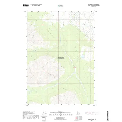
2017 Map of McCarthy A-6 NW
USGS Topo · Published 2017About this map
Wrangell-Saint Elias National Park encompasses the vast majority of this landscape, where high-altitude water systems converge. The Chakina River serves as the primary drainage corridor, fed by the W Fork Chakina River and the glacial runoff of the Klu River. This area represents a wild, undeveloped portion of the Alaska interior where the topography is defined by significant elevation changes rather than human settlement. Sunshine Lake sits in a high basin in the eastern portion of the sheet, providing a rare stationary water body amidst the active stream networks like Monahan Cr. The map illustrates the complex hydrography of the Valdez-Cordova region before it flows toward larger river systems, showing a terrain shaped entirely by natural forces with no roads or permanent structures recorded.
Find a feature on this map
10 named features on this map. Tap any name to fly to it.
Don’t see what you’re looking for? This feature index may not catch every label — zoom into the map to look around manually.
Map Details
Editions of this 2017 McCarthy A-6 NW Map
This is the sole edition of this map. No revisions or reprints were ever made.
Other maps of this area

1951 · McCarthy
USGS Topo · 1:250,000

1959 · McCarthy B-6
USGS Topo · 1:63,360

1959 · McCarthy A-6
USGS Topo · 1:63,360

1959 · McCarthy A-7
USGS Topo · 1:63,360

1959 · McCarthy B-7
USGS Topo · 1:63,360

1960 · McCarthy
USGS Topo · 1:250,000

1994 · McCarthy A-6
USGS Topo · 1:63,360
1994 · McCarthy B-6
USGS Topo · 1:63,360
1995 · McCarthy B-7
USGS Topo · 1:63,360
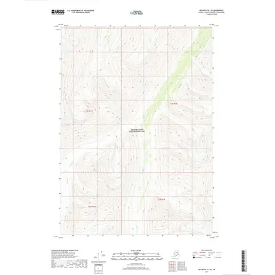
2017 · McCarthy A-7 SE
USGS Topo · 1:25,000