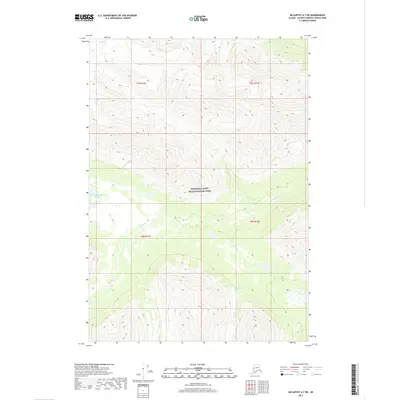
2017 Map of McCarthy A-7 NE
USGS Topo · Published 2017About this map
Wrangell-Saint Elias National Park encompasses this entire interior landscape, where glacial-fed drainages carve through high-elevation terrain. The Hanagita River flows eastward through the central valley, originating near the Upper Hanagita Lakes. This 2017 survey details a remote wilderness defined by the complex intersection of the Klu River and numerous smaller tributaries like Skull Cr, Gold Cr, and Monahan Cr. The map captures the hydrological patterns of a subarctic environment before significant seasonal shifts, documenting the precise reach of wetlands and alpine watercourses in this protected region of the Valdez-Cordova Census Area.
Find a feature on this map
11 named features on this map. Tap any name to fly to it.
Don’t see what you’re looking for? This feature index may not catch every label — zoom into the map to look around manually.
Map Details
Editions of this 2017 McCarthy A-7 NE Map
This is the sole edition of this map. No revisions or reprints were ever made.
Other maps of this area

1951 · McCarthy
USGS Topo · 1:250,000

1959 · McCarthy B-6
USGS Topo · 1:63,360

1959 · McCarthy A-6
USGS Topo · 1:63,360

1959 · McCarthy A-7
USGS Topo · 1:63,360

1959 · McCarthy B-7
USGS Topo · 1:63,360

1960 · McCarthy
USGS Topo · 1:250,000

1994 · McCarthy A-6
USGS Topo · 1:63,360
1994 · McCarthy B-6
USGS Topo · 1:63,360
1995 · McCarthy B-7
USGS Topo · 1:63,360
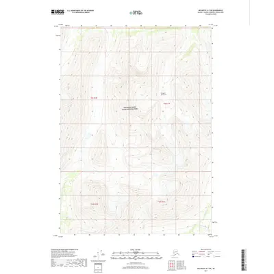
2017 · McCarthy A-7 SW
USGS Topo · 1:25,000