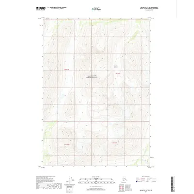
2017 Map of McCarthy A-7 SW
USGS Topo · Published 2017About this map
Wrangell-Saint Elias National Park dominates this high-altitude landscape within the Chugach Mountains. The topography is defined by extreme relief and glacial drainages, where several significant watercourses begin their descent. To the south and west, Amy Cr and Shovel Cr cut through steep terrain, while the southeastern corner is marked by the headwaters of Golconda Cr and Standard Cr. The survey illustrates a raw, unpopulated wilderness where the Public Land Survey System grid lines of townships like t9s r10e and t10s r11e are the only indicators of human organization over the natural geography. This 2017 edition records the complex drainage patterns of the Valdez-Cordova region before further environmental shifts.
Find a feature on this map
10 named features on this map. Tap any name to fly to it.
Don’t see what you’re looking for? This feature index may not catch every label — zoom into the map to look around manually.
Map Details
Editions of this 2017 McCarthy A-7 SW Map
This is the sole edition of this map. No revisions or reprints were ever made.
Other maps of this area

1950 · McCarthy A-8
USGS Topo · 1:63,360

1950 · Bering Glacier
USGS Topo · 1:250,000

1951 · McCarthy
USGS Topo · 1:250,000

1951 · Bering Glacier
USGS Topo · 1:250,000

1959 · Bering Glacier
USGS Topo · 1:250,000

1959 · McCarthy A-7
USGS Topo · 1:63,360

1960 · McCarthy
USGS Topo · 1:250,000
1984 · Bering Glacier D-7
USGS Topo · 1:63,360
1984 · Bering Glacier D-8
USGS Topo · 1:63,360
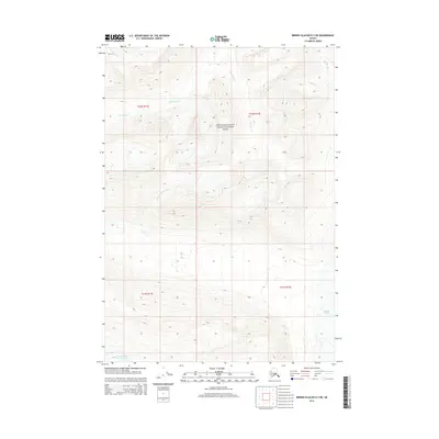
2014 · Bering Glacier D-7 NE
USGS Topo · 1:25,000