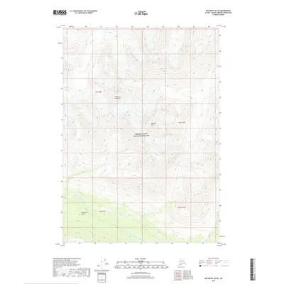
2017 Map of McCarthy A-8 SE
USGS Topo · Published 2017About this map
Hanagita Peak stands as a prominent landmark within the Chugach Mountains, overlooking a landscape defined by the deep incisions of the North Fork Bremner River and its various tributaries. This 2017 survey captures the glaciated terrain and dramatic elevation changes of the Wrangell-Saint Elias National Park, where high ridgelines descend sharply toward the Twelvemile Canyon. The drainage patterns are clearly delineated, with the Klu River flowing through the northern reaches while Blackrock Cr and Amy Cr carve through the southern slopes. This map serves as a precise record of the physical geography and hydrological network in this protected Alaskan wilderness, illustrating the relationship between the towering summits and the complex river systems that shape the valley floors below.
Find a feature on this map
12 named features on this map. Tap any name to fly to it.
Don’t see what you’re looking for? This feature index may not catch every label — zoom into the map to look around manually.
Map Details
Editions of this 2017 McCarthy A-8 SE Map
This is the sole edition of this map. No revisions or reprints were ever made.
Other maps of this area

1950 · McCarthy A-8
USGS Topo · 1:63,360

1950 · Bering Glacier
USGS Topo · 1:250,000

1951 · McCarthy
USGS Topo · 1:250,000

1951 · Bering Glacier
USGS Topo · 1:250,000

1959 · Bering Glacier
USGS Topo · 1:250,000

1959 · McCarthy A-7
USGS Topo · 1:63,360

1960 · McCarthy
USGS Topo · 1:250,000
1984 · Bering Glacier D-7
USGS Topo · 1:63,360
1984 · Bering Glacier D-8
USGS Topo · 1:63,360
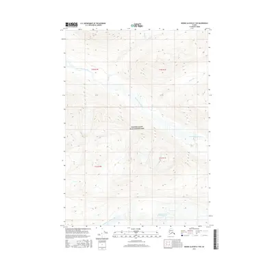
2016 · Bering Glacier D-7 NW
USGS Topo · 1:25,000