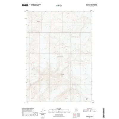
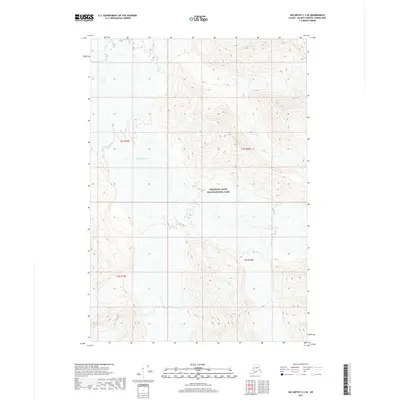
2017 Map of McCarthy B-3 NW
USGS Topo · Published 2017About this map
Wrangell-Saint Elias National Park encompasses this high-altitude landscape in the Alaskan interior, defined by extreme vertical relief and glacial activity. The northern section of the University Range dominates the southern reaches of the map, rising toward the dramatic formation known as The Grand Parapet. This terrain is characterized by the massive Chitistone Glacier, which carves through the central portion of the quadrangle. The 2017 survey illustrates the complex contours of this wilderness area, where the Public Land Survey System grid lines of townships like t5s r19e and t4s r18e overlay a landscape largely untouched by infrastructure or permanent settlement, reflecting the pristine state of this protected national parkland.
Find a feature on this map
10 named features on this map. Tap any name to fly to it.
Don’t see what you’re looking for? This feature index may not catch every label — zoom into the map to look around manually.
Map Details
Editions of this 2017 McCarthy B-3 NW Map
This is the sole edition of this map. No revisions or reprints were ever made.
Other maps of this area

1951 · McCarthy
USGS Topo · 1:250,000

1959 · McCarthy C-4
USGS Topo · 1:63,360

1959 · McCarthy B-4
USGS Topo · 1:63,360

1959 · McCarthy C-3
USGS Topo · 1:63,360

1959 · McCarthy B-3
USGS Topo · 1:63,360

1960 · McCarthy
USGS Topo · 1:250,000
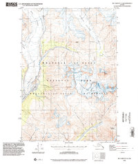
1993 · McCarthy C-4
USGS Topo · 1:63,360
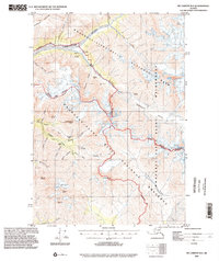
1994 · McCarthy B-4
USGS Topo · 1:63,360
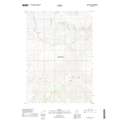
2017 · McCarthy C-4 SE
USGS Topo · 1:25,000
2017 · McCarthy C-3 SE
USGS Topo · 1:25,000