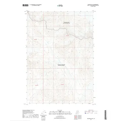
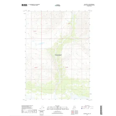
2017 Map of McCarthy B-4 SE
USGS Topo · Published 2017About this map
Wrangell-Saint Elias National Park and the adjacent Wrangell-Saint Elias National Preserve define this landscape in the Valdez-Cordova Census Area. This high-altitude terrain is marked by the presence of the Twaharpies Glacier in the northeast, which feeds the complex drainage systems that carve through the mountain passes. The hydrological network is dominated by the winding paths of Canyon Creek, Young Cr, and Cave Cr, illustrating the powerful erosive forces at work in this part of the Alaska Range. The map detail reflects the region's character as a protected wilderness, showing the intersection of park and preserve boundaries amidst a landscape where permanent human settlements are absent, replaced instead by the natural features that have guided travelers and surveyors through the interior for generations.
Find a feature on this map
11 named features on this map. Tap any name to fly to it.
Don’t see what you’re looking for? This feature index may not catch every label — zoom into the map to look around manually.
Map Details
Editions of this 2017 McCarthy B-4 SE Map
This is the sole edition of this map. No revisions or reprints were ever made.
Other maps of this area

1951 · McCarthy
USGS Topo · 1:250,000

1959 · McCarthy A-4
USGS Topo · 1:63,360

1959 · McCarthy B-4
USGS Topo · 1:63,360

1959 · McCarthy A-3
USGS Topo · 1:63,360

1959 · McCarthy B-3
USGS Topo · 1:63,360

1960 · McCarthy
USGS Topo · 1:250,000
1994 · McCarthy A-4
USGS Topo · 1:63,360
1994 · McCarthy B-4
USGS Topo · 1:63,360
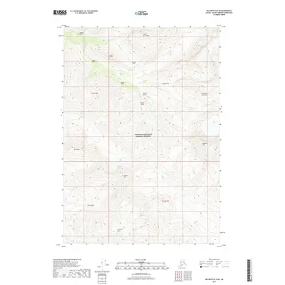
2017 · McCarthy B-4 SW
USGS Topo · 1:25,000
2017 · McCarthy A-4 NE
USGS Topo · 1:25,000