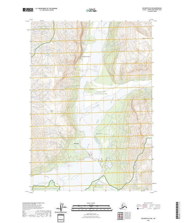
2023 Map of McCarthy B-5 NE
USGS Topo · Published 2023About this map
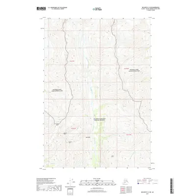
McCarthy sits at the heart of this Alaskan wilderness, where the glacial braiding of the Nizina River meets a complex network of alpine valleys and mountain ridges. The terrain transitions from the alluvial flats of the river valley to the heights of the Wrangell Mountains and Saint Elias Mountains. This map documents a landscape defined by significant elevation changes, from the prominent Chitistone Mtn in the northeast to the sharp descent of Pack Gulch.
Find a feature on this map
24 named features on this map. Tap any name to fly to it.
Don’t see what you’re looking for? This feature index may not catch every label — zoom into the map to look around manually.
Map Details
Editions of this 2023 McCarthy B-5 NE Map
This is the sole edition of this map. No revisions or reprints were ever made.
Other maps of this area

1951 · McCarthy
USGS Topo · 1:250,000

1959 · McCarthy C-5
USGS Topo · 1:63,360

1959 · McCarthy B-5
USGS Topo · 1:63,360

1959 · McCarthy C-4
USGS Topo · 1:63,360

1959 · McCarthy B-4
USGS Topo · 1:63,360

1960 · McCarthy
USGS Topo · 1:250,000
1993 · McCarthy C-4
USGS Topo · 1:63,360
1993 · McCarthy C-5
USGS Topo · 1:63,360
1994 · McCarthy B-4
USGS Topo · 1:63,360
2017 · McCarthy C-5 SW
USGS Topo · 1:25,000