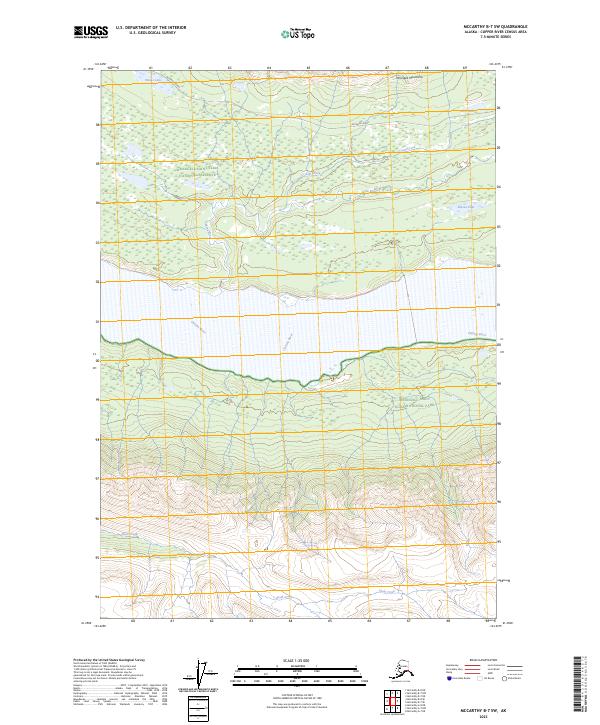
2023 Map of McCarthy B-7 SW
USGS Topo · Published 2023About this map
Chitina River and the Lakina River dominate this wilderness landscape, where the braided river channels and alluvial deposits define the lowlands between the high peaks of the Wrangell Mountains. The corridor is sparsely marked by human infrastructure, with the historic McCarthy Road providing the primary route through the northern section of the map. This remote area is partitioned into distinct conservation zones, including the Wrangell-Saint Elias National Park, the National Preserve, and the Wrangell-St. Elias Wilderness. Several small water bodies like Moose Lake, Ruth Lake, and Lakina Lake are tucked into the drainages of Crystal Creek. To the south, the terrain rises sharply from the river flats toward the high elevations surrounding Skull Creek.
Find a feature on this map
16 named features on this map. Tap any name to fly to it.
Don’t see what you’re looking for? This feature index may not catch every label — zoom into the map to look around manually.
Map Details
Editions of this 2023 McCarthy B-7 SW Map
This is the sole edition of this map. No revisions or reprints were ever made.
Other maps of this area

1950 · McCarthy A-8
USGS Topo · 1:63,360

1951 · McCarthy
USGS Topo · 1:250,000

1951 · McCarthy B-8
USGS Topo · 1:63,360

1959 · McCarthy A-7
USGS Topo · 1:63,360

1959 · McCarthy B-7
USGS Topo · 1:63,360

1960 · McCarthy
USGS Topo · 1:250,000
1995 · McCarthy B-7
USGS Topo · 1:63,360

1995 · McCarthy B-8
USGS Topo · 1:63,360
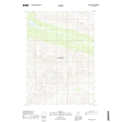
2017 · McCarthy A-8 NE
USGS Topo · 1:25,000
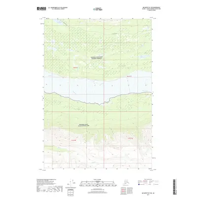
2017 · McCarthy B-7 SW
USGS Topo · 1:25,000