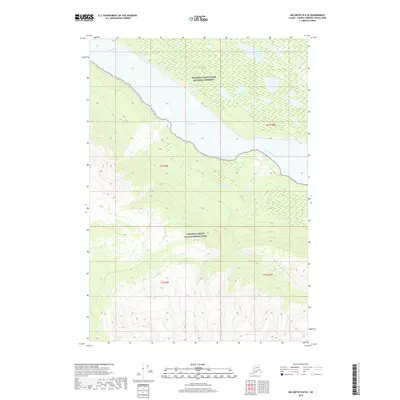
2017 Map of McCarthy B-8 SE
USGS Topo · Published 2017About this map
Wrangell-Saint Elias National Park and the adjacent Wrangell-Saint Elias National Preserve define this landscape, where the braided channels of the Chitina River dominate the valley floor. The map highlights the sharp transition from the low-lying wetlands of the river basin to the steep, high-elevation ridges of the interior. The Gilahina River enters from the northwest, while drainage from Skull Lake and Skull Cr marks the eastern portion of the survey. This 2017 edition documents the public land boundaries and topography of this massive protected wilderness area, showing the precise township and range sections such as t6s r9e and t7s r10e that guide backcountry navigation and land management.
Find a feature on this map
10 named features on this map. Tap any name to fly to it.
Don’t see what you’re looking for? This feature index may not catch every label — zoom into the map to look around manually.
Map Details
Editions of this 2017 McCarthy B-8 SE Map
This is the sole edition of this map. No revisions or reprints were ever made.
Other maps of this area

1950 · McCarthy A-8
USGS Topo · 1:63,360

1951 · McCarthy
USGS Topo · 1:250,000

1951 · McCarthy B-8
USGS Topo · 1:63,360

1959 · McCarthy A-7
USGS Topo · 1:63,360

1959 · McCarthy B-7
USGS Topo · 1:63,360

1960 · McCarthy
USGS Topo · 1:250,000
1995 · McCarthy B-7
USGS Topo · 1:63,360

1995 · McCarthy B-8
USGS Topo · 1:63,360
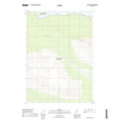
2017 · McCarthy B-8 SW
USGS Topo · 1:25,000
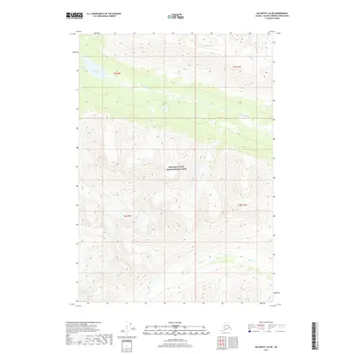
2017 · McCarthy A-8 NE
USGS Topo · 1:25,000