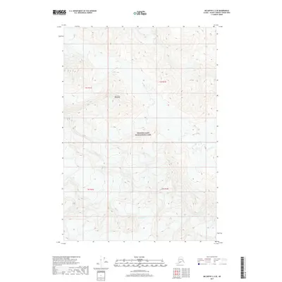
2017 Map of McCarthy C-2 SE
USGS Topo · Published 2017About this map
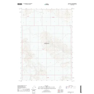
Wrangell-Saint Elias National Park dominates this portion of the Alaskan interior, showing a landscape defined by extreme elevation and glacial movement as it appeared in 2017. The high peaks of the Saint Elias Mountains provide the source for massive ice sheets, including the Klutlan Glacier and Giffin Glacier. The map's contour lines illustrate the sharp verticality of this protected wilderness, where ice and rock meet in a environment largely untouched by permanent settlement or infrastructure. This record by the U.S. Geological Survey provides a technical look at the movement of these glaciers, tracking the ice margins across several townships including t3s r21e and t4s r22e.
Find a feature on this map
8 named features on this map. Tap any name to fly to it.
Don’t see what you’re looking for? This feature index may not catch every label — zoom into the map to look around manually.
Map Details
Editions of this 2017 McCarthy C-2 SE Map
This is the sole edition of this map. No revisions or reprints were ever made.
Other maps of this area

1951 · McCarthy
USGS Topo · 1:250,000

1959 · McCarthy C-1
USGS Topo · 1:63,360

1959 · McCarthy B-2
USGS Topo · 1:63,360

1959 · McCarthy B-1
USGS Topo · 1:63,360

1959 · McCarthy C-2
USGS Topo · 1:63,360

1960 · McCarthy
USGS Topo · 1:250,000
2017 · McCarthy C-2 NE
USGS Topo · 1:25,000
2017 · McCarthy B-2 NW
USGS Topo · 1:25,000
2017 · McCarthy C-2 SW
USGS Topo · 1:25,000
2017 · McCarthy B-1 NW
USGS Topo · 1:25,000