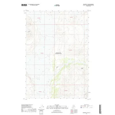
2017 Map of McCarthy C-4 NW
USGS Topo · Published 2017About this map
Wrangell-Saint Elias National Park encompasses this high-altitude landscape, where massive ice fields and glacial meltwater define the geography. The movement of the Nizina Glacier and Regal Glacier dominates the northern and western sections of the quadrangle, feeding the braided channels of the Nizina River below. These geological forces carve through the Wrangell Mountains, creating prominent local landmarks such as Chimney Mtn and Tinplate Hill. The topography is shaped by the drainage of Skolai Creek, illustrating a wilderness primarily accessible via the dynamic river systems and glacial valleys that have long dictated movement through this interior Alaskan corridor. This 2017 survey reflects the contemporary boundaries of the protected parkland while providing precise data on its glacial recession and hydrologic patterns.
Find a feature on this map
15 named features on this map. Tap any name to fly to it.
Don’t see what you’re looking for? This feature index may not catch every label — zoom into the map to look around manually.
Map Details
Editions of this 2017 McCarthy C-4 NW Map
This is the sole edition of this map. No revisions or reprints were ever made.
Other maps of this area

1951 · McCarthy
USGS Topo · 1:250,000

1959 · McCarthy C-5
USGS Topo · 1:63,360

1959 · McCarthy C-4
USGS Topo · 1:63,360
1960 · McCarthy D-5
USGS Topo · 1:63,360

1960 · McCarthy D-4
USGS Topo · 1:63,360

1960 · McCarthy
USGS Topo · 1:250,000
1993 · McCarthy C-4
USGS Topo · 1:63,360
1993 · McCarthy C-5
USGS Topo · 1:63,360
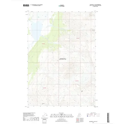
2017 · McCarthy C-4 SW
USGS Topo · 1:25,000
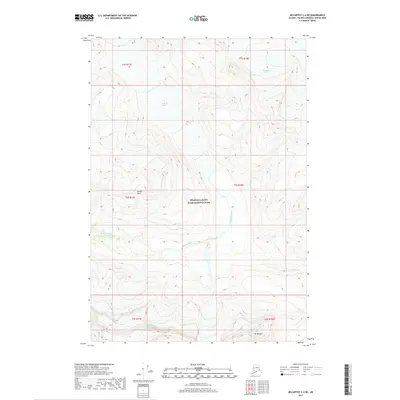
2017 · McCarthy C-4 NE
USGS Topo · 1:25,000