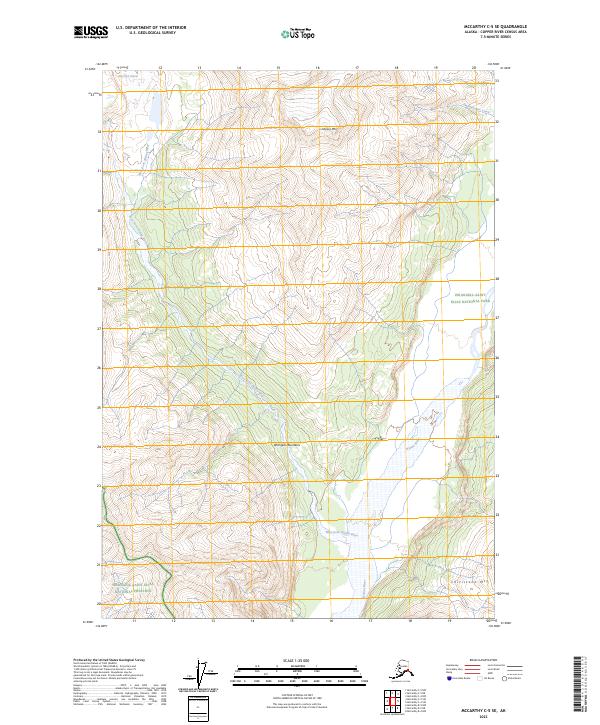
2023 Map of McCarthy C-5 SE
USGS Topo · Published 2023About this map
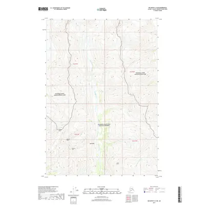
Wrangell Mountains dominate this high-altitude landscape in eastern Alaska, where glacial dynamics and protected wilderness meet. The topography is defined by the massive drainage system of the Nizina River, fed by the West Fork Nizina River and the retreating West Fork Glacier in the northwest. This modern survey illustrates the complex boundaries between the Wrangell-Saint Elias National Park, the designated Wrangell-St. Elias Wilderness, and the Wrangell-Saint Elias National Preserve. Significant peaks such as Nizina Mtn and Chitistone Mtn serve as landmarks in an area almost entirely devoid of human infrastructure, focusing instead on the preservation of the glacial headwaters and the transition from ice to braided river systems.
Find a feature on this map
14 named features on this map. Tap any name to fly to it.
Don’t see what you’re looking for? This feature index may not catch every label — zoom into the map to look around manually.
Map Details
Editions of this 2023 McCarthy C-5 SE Map
This is the sole edition of this map. No revisions or reprints were ever made.
Other maps of this area

1951 · McCarthy
USGS Topo · 1:250,000

1959 · McCarthy C-5
USGS Topo · 1:63,360

1959 · McCarthy B-5
USGS Topo · 1:63,360

1959 · McCarthy C-4
USGS Topo · 1:63,360

1959 · McCarthy B-4
USGS Topo · 1:63,360

1960 · McCarthy
USGS Topo · 1:250,000
1993 · McCarthy C-4
USGS Topo · 1:63,360
1993 · McCarthy C-5
USGS Topo · 1:63,360
1994 · McCarthy B-4
USGS Topo · 1:63,360
2017 · McCarthy C-5 SW
USGS Topo · 1:25,000