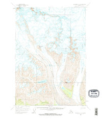
1959 Map of McCarthy C-6
USGS Topo · Published 1969About this map
Bonanza Mine and the Erie Mine sit at the edge of a landscape dominated by massive ice flows and high mountain summits. In this late 1950s survey, industrial activity is captured alongside the formidable geography of the Kennicott Glacier and its tributaries, including the Gates Glacier and Root Glacier. The presence of a Tractor Road provides a clear indication of the overland transport routes used to access these high-elevation mineral sites near the Stairway Glacier. Distinctive landmarks like Packsaddle Island and Donoho Peak rise above the ice, while drainage patterns are marked by Hidden Creek Lake and the waters of Fourth of July Creek. The map meticulously records the dangerous terrain of the region, noting numerous crevasses that break the surface of the glaciers.
Find a feature on this map
19 named features on this map. Tap any name to fly to it.
Don’t see what you’re looking for? This feature index may not catch every label — zoom into the map to look around manually.
Map Details
Editions of this 1959 McCarthy C-6 Map
3 editions found
Other maps of this area

1951 · McCarthy
USGS Topo · 1:250,000

1959 · McCarthy B-6
USGS Topo · 1:63,360

1959 · McCarthy C-5
USGS Topo · 1:63,360

1959 · McCarthy B-5
USGS Topo · 1:63,360

1959 · McCarthy D-7
USGS Topo · 1:63,360

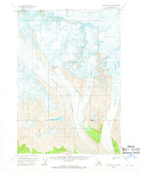
1959 · McCarthy C-6
USGS Topo · 1:63,360

1959 · McCarthy C-7
USGS Topo · 1:63,360

1959 · McCarthy B-7
USGS Topo · 1:63,360

1960 · McCarthy D-6
USGS Topo · 1:63,360
1960 · McCarthy D-5
USGS Topo · 1:63,360