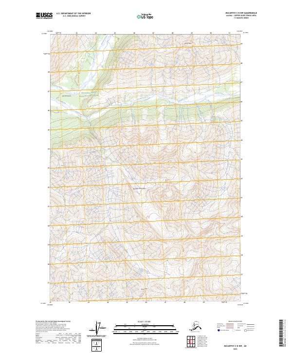
2023 Map of McCarthy C-8 NW
USGS Topo · Published 2023About this map
Wrangell-Saint Elias National Park encompasses a high-alpine landscape where glacial waters gather into the Kluvesna River and the Kotsina River. This 2023 survey illustrates a corner of the Wrangell Mountains characterized by severe vertical relief, where drainage systems like Rock Creek and Lime Creek have carved deep valleys between high summits such as Granite Peak.
Find a feature on this map
22 named features on this map. Tap any name to fly to it.
Don’t see what you’re looking for? This feature index may not catch every label — zoom into the map to look around manually.
Map Details
Editions of this 2023 McCarthy C-8 NW Map
This is the sole edition of this map. No revisions or reprints were ever made.
Other maps of this area

1951 · McCarthy
USGS Topo · 1:250,000

1951 · McCarthy C-8
USGS Topo · 1:63,360

1951 · Valdez C-1
USGS Topo · 1:63,360

1952 · Valdez
USGS Topo · 1:250,000

1953 · Valdez C-1
USGS Topo · 1:63,360

1959 · Valdez D-1
USGS Topo · 1:63,360

1960 · McCarthy D-8
USGS Topo · 1:63,360

1960 · McCarthy
USGS Topo · 1:250,000

1960 · Valdez
USGS Topo · 1:250,000
1995 · McCarthy C-8
USGS Topo · 1:63,360