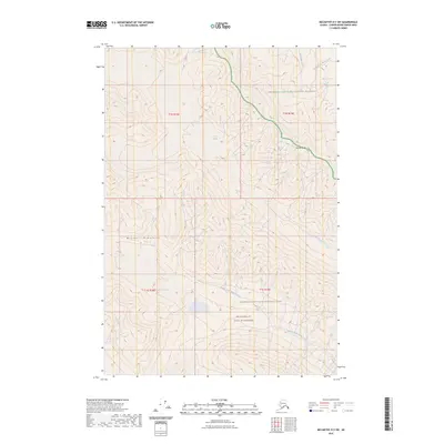
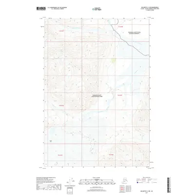
2023 Map of McCarthy D-3 SW
USGS Topo · Published 2023About this map
Lime Glacier and Middle Fork Glacier dominate the high-altitude terrain of this interior Alaskan quadrangle, feeding the glacial headwaters that carve through the Wrangell Mountains. The map reveals a complex hydrologic network where the Middle Fork White River and North Fork White River begin their descent through protected lands.
Find a feature on this map
15 named features on this map. Tap any name to fly to it.
Don’t see what you’re looking for? This feature index may not catch every label — zoom into the map to look around manually.
Map Details
Editions of this 2023 McCarthy D-3 SW Map
This is the sole edition of this map. No revisions or reprints were ever made.
Other maps of this area

1951 · McCarthy
USGS Topo · 1:250,000

1959 · McCarthy C-4
USGS Topo · 1:63,360

1959 · McCarthy D-3
USGS Topo · 1:63,360

1959 · McCarthy C-3
USGS Topo · 1:63,360

1960 · McCarthy D-4
USGS Topo · 1:63,360

1960 · McCarthy
USGS Topo · 1:250,000
1993 · McCarthy C-4
USGS Topo · 1:63,360
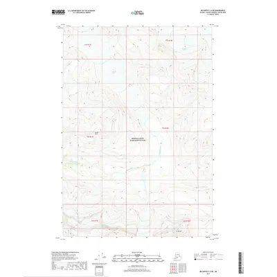
2017 · McCarthy C-4 NE
USGS Topo · 1:25,000
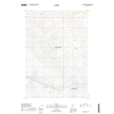
2017 · McCarthy D-4 NE
USGS Topo · 1:25,000
2017 · McCarthy C-3 NE
USGS Topo · 1:25,000