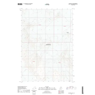
2017 Map of McCarthy D-4 SW
USGS Topo · Published 2017About this map
Wrangell-Saint Elias National Park dominates this high-altitude landscape in the southeastern corner of the Alaska interior. The map documents a massive ice-and-rock environment defined by the high peaks of the Wrangell Mountains and the slow movement of alpine ice. These glaciers are primary features of the terrain, with the Chisana Glacier flowing toward the north while the Nizina Glacier and Frederika Glacier descend from the heights in different directions. The survey represents the state of these icy corridors during the early twenty-first century, providing a baseline for researchers tracking the glacial geography of the region. Aside from the park boundary and the section lines of the township and range system, the area is devoid of permanent human settlement or infrastructure.
Find a feature on this map
9 named features on this map. Tap any name to fly to it.
Don’t see what you’re looking for? This feature index may not catch every label — zoom into the map to look around manually.
Map Details
Editions of this 2017 McCarthy D-4 SW Map
This is the sole edition of this map. No revisions or reprints were ever made.
Other maps of this area

1951 · McCarthy
USGS Topo · 1:250,000

1959 · McCarthy C-5
USGS Topo · 1:63,360

1959 · McCarthy C-4
USGS Topo · 1:63,360
1960 · McCarthy D-5
USGS Topo · 1:63,360

1960 · McCarthy D-4
USGS Topo · 1:63,360

1960 · McCarthy
USGS Topo · 1:250,000
1993 · McCarthy C-4
USGS Topo · 1:63,360
1993 · McCarthy C-5
USGS Topo · 1:63,360
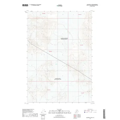
2017 · McCarthy D-4 NW
USGS Topo · 1:25,000
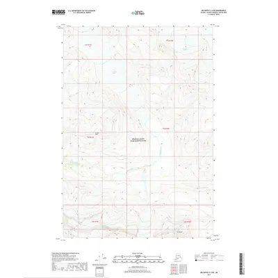
2017 · McCarthy C-4 NE
USGS Topo · 1:25,000