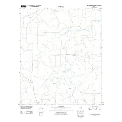
2010 Map of McCathrine Mountain
USGS Topo · Published 2010About this map
Hubbard Creek and its many tributaries, including Salt Prong Hubbard Creek and Deep Creek, define the landscape of this Shackelford County region. The terrain is marked by distinctive elevations such as McCathrine Mountain and the plateau known as Flat Top, which overlook a network of county roads and private ranch tracks. Historically significant sites for family researchers include Lynch Cemetery and Parrish Cemetery, located in the central and southern portions of the map respectively. Small water bodies like Stassney Lake and the southern reach of Hubbard Creek Lake punctuate the landscape, reflecting the essential role of water management in this part of North Central Texas. The presence of Palm Ranch and various private roads suggests a modern continuation of the area's long-standing cattle ranching traditions.
Find a feature on this map
31 named features on this map. Tap any name to fly to it.
Don’t see what you’re looking for? This feature index may not catch every label — zoom into the map to look around manually.
Map Details
Editions of this 2010 McCathrine Mountain Map
This is the sole edition of this map. No revisions or reprints were ever made.
Other maps of this area

1892 · Albany
USGS Topo · 1:125,000

1893 · Albany
USGS Topo · 1:125,000

1954 · Abilene
USGS Topo · 1:250,000

1958 · Abilene
USGS Topo · 1:250,000

1958 · Edwards Branch
USGS Topo · 1:24,000

1961 · Eolian
USGS Topo · 1:24,000

1965 · Albany
USGS Topo · 1:24,000

1965 · McCatherine Mountain
USGS Topo · 1:24,000
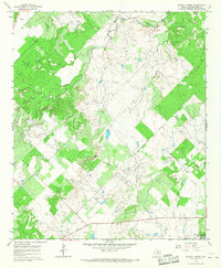
1965 · Murphy Creek
USGS Topo · 1:24,000
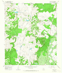
1965 · Round Hill
USGS Topo · 1:24,000