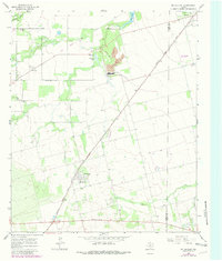
1965 Map of McCaulley
USGS Topo · Published 1981About this map
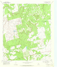
The town of McCaulley anchors the southern portion of this mid-1960s survey, showing a established grid that included a High Sch and proximity to the Atchison Topeka and Santa Fe railroad. The industrial footprint of the era is evident near the settlement of Celotex, where a Strip Mine and the waters of Plasterco Lake mark a landscape shaped by resource extraction. Local transportation history is etched into the terrain by an Old Railroad Grade that winds past Peter Hill and through the Field area toward the northwest.
Find a feature on this map
32 named features on this map. Tap any name to fly to it.
Don’t see what you’re looking for? This feature index may not catch every label — zoom into the map to look around manually.
Map Details
Editions of this 1965 McCaulley Map
2 editions found
Other maps of this area

1893 · Roby
USGS Topo · 1:125,000

1931 · Rotan
USGS Topo · 1:62,500

1954 · Big Spring
USGS Topo · 1:250,000

1957 · Noodle
USGS Topo · 1:62,500

1958 · Big Spring
USGS Topo · 1:250,000
1965 · Hamlin NE
USGS Topo · 1:24,000
1965 · Neinda
USGS Topo · 1:24,000
1965 · Hamlin NW
USGS Topo · 1:24,000

1965 · McCaulley
USGS Topo · 1:24,000
1969 · Poke Mountain
USGS Topo · 1:24,000