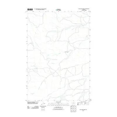
2011 Map of McClure Creek
USGS Topo · Published 2011About this map
Mcclure Creek flows through the center of this Rosebud County landscape, illustrating a drainage system defined by numerous seasonal tributaries and springs. The terrain is marked by the presence of Farleys Number 1 Dam, a focal point for water management in this cattle-ranching region. A network of rural routes, including Horse Creek Rd and Castle Rock Rd, connects the disparate drainage basins of Beaver Creek and Donley Creek. The map documents several precisely located water sources such as 02N38E03ABBB01 Spring and 02N39E31____01 Spring, which are critical identifiers for land use and property history in this part of Montana. The nomenclature of features like Black Hank Creek and Robbie Creek reflects local geography and pioneer-era naming conventions.
Find a feature on this map
23 named features on this map. Tap any name to fly to it.
Don’t see what you’re looking for? This feature index may not catch every label — zoom into the map to look around manually.
Map Details
Editions of this 2011 McClure Creek Map
This is the sole edition of this map. No revisions or reprints were ever made.
Other maps of this area

1954 · Hardin
USGS Topo · 1:250,000

1954 · Forsyth
USGS Topo · 1:250,000

1957 · Hardin
USGS Topo · 1:250,000

1957 · Forsyth
USGS Topo · 1:250,000

1958 · Forsyth
USGS Topo · 1:250,000

1958 · Hardin
USGS Topo · 1:250,000

1971 · Trail Creek School
USGS Topo · 1:24,000

1971 · Mc Clure Creek
USGS Topo · 1:24,000

1971 · Griffin Coulee SW
USGS Topo · 1:24,000

1971 · Rough Draw
USGS Topo · 1:24,000