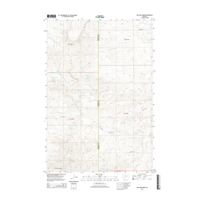
2014 Map of McClure Creek
USGS Topo · Published 2014About this map
The Little Wolf Mountains dominate the southern landscape of this 2014 survey along the boundary of Treasure and Rosebud counties. This high-plains terrain is defined by a dense network of seasonal drainages and springs, with watercourses like McClure Creek and Robbie Cr carving through the breaks. The map documents a sparsely populated ranching landscape where access is dictated by primitive routes such as Horse Creek Rd and Armells Creek Rd.
Find a feature on this map
35 named features on this map. Tap any name to fly to it.
Don’t see what you’re looking for? This feature index may not catch every label — zoom into the map to look around manually.
Map Details
Editions of this 2014 McClure Creek Map
This is the sole edition of this map. No revisions or reprints were ever made.
Other maps of this area

1954 · Hardin
USGS Topo · 1:250,000

1954 · Forsyth
USGS Topo · 1:250,000

1957 · Hardin
USGS Topo · 1:250,000

1957 · Forsyth
USGS Topo · 1:250,000

1958 · Forsyth
USGS Topo · 1:250,000

1958 · Hardin
USGS Topo · 1:250,000

1971 · Trail Creek School
USGS Topo · 1:24,000

1971 · Mc Clure Creek
USGS Topo · 1:24,000

1971 · Griffin Coulee SW
USGS Topo · 1:24,000

1971 · Rough Draw
USGS Topo · 1:24,000