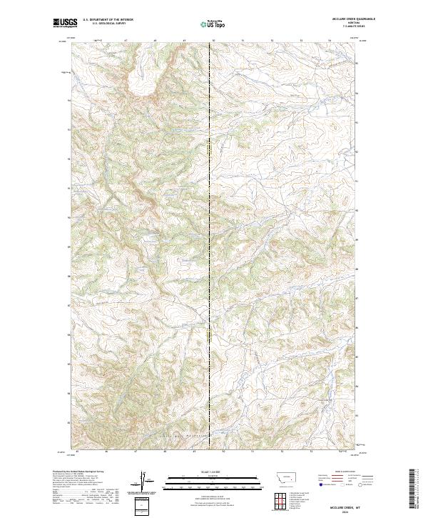
2024 Map of McClure Creek
USGS Topo · Published 2024About this map
Little Wolf Mountains dominate the southern reach of this landscape, marking the transition between Treasure and Rosebud counties. This modern topographic survey details a remote drainage network defined by the Mcclure Creek and its tributaries, revealing how the local geography dictates the path of travel through the rugged northern hills. Numerous natural springs, such as 02N38E03ABBB01 Spring and 02N38E01BACA01 Spring, are precisely inventoried, indicating their vital importance to the high plains ecology and cattle ranching economy. The road system remains sparse and functional, with Horse Creek Rd and Sarpy Cr Rd following natural contours and watercourses like Horse Creek and Black Hank Creek. This survey captures the enduring character of Montana's rangelands, where water sources and mountain passes remain the primary landmarks for navigation across the county line.
Find a feature on this map
34 named features on this map. Tap any name to fly to it.
Don’t see what you’re looking for? This feature index may not catch every label — zoom into the map to look around manually.
Map Details
Editions of this 2024 McClure Creek Map
This is the sole edition of this map. No revisions or reprints were ever made.
Other maps of this area

1954 · Hardin
USGS Topo · 1:250,000

1954 · Forsyth
USGS Topo · 1:250,000

1957 · Hardin
USGS Topo · 1:250,000

1957 · Forsyth
USGS Topo · 1:250,000

1958 · Forsyth
USGS Topo · 1:250,000

1958 · Hardin
USGS Topo · 1:250,000

1971 · Trail Creek School
USGS Topo · 1:24,000

1971 · Mc Clure Creek
USGS Topo · 1:24,000

1971 · Griffin Coulee SW
USGS Topo · 1:24,000

1971 · Rough Draw
USGS Topo · 1:24,000