
1958 Map of McClusky
USGS Topo · Published 1958About this map
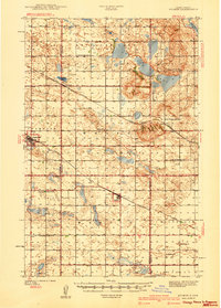
The Missouri River corridor undergoes a massive transformation on this 1950s survey, dominated by the newly completed Garrison Dam and the rising waters of the Garrison Reservoir. This engineering feat reshaped the landscape of the Fort Berthold Indian Reservation and led to the creation of Riverdale and Pick City to support the dam's power plant and infrastructure. Beyond the river, the landscape is defined by the high density of prairie potholes, labeled here as Numerous Lakes, which dot the terrain between the Prophets Mountains and Hog Back Ridge.
Find a feature on this map
172 named features on this map. Tap any name to fly to it.
Don’t see what you’re looking for? This feature index may not catch every label — zoom into the map to look around manually.
Map Details
Editions of this 1958 McClusky Map
This is the sole edition of this map. No revisions or reprints were ever made.
Other maps of this area

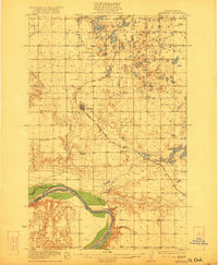
1907 · Bismarck
USGS Topo · 1:125,000
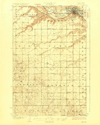
1922 · Garrison
USGS Topo · 1:62,500
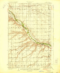
1928 · Minot
USGS Topo · 1:62,500
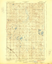
1929 · Sawyer
USGS Topo · 1:62,500
1929 · Coleharbor
USGS Topo · 1:62,500
1929 · Benedict
USGS Topo · 1:62,500
1929 · Kongsberg
USGS Topo · 1:62,500
1929 · Balfour
USGS Topo · 1:62,500
1930 · Drake
USGS Topo · 1:62,500
1940 · Aylmer
USGS Topo · 1:62,500