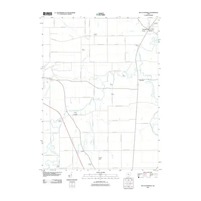
2010 Map of McCutchenville
USGS Topo · Published 2010About this map
McCutchenville stands at the northern edge of this agricultural landscape, where the McCutchenville Post Office and a cluster of denominational burial grounds like the Lutheran Cemetery and Methodist Cemetery mark the community's long-standing center. The geography is defined by the winding course of the Sandusky River to the east and the intricate drainage of Tymochtee Creek and its tributaries, including Little Tymochtee Creek and Spring Run.
Find a feature on this map
66 named features on this map. Tap any name to fly to it.
Don’t see what you’re looking for? This feature index may not catch every label — zoom into the map to look around manually.
Map Details
Editions of this 2010 McCutchenville Map
This is the sole edition of this map. No revisions or reprints were ever made.
Other maps of this area

1901 · Fostoria
USGS Topo · 1:62,500

1903 · Fostoria
USGS Topo · 1:62,500

1906 · Sycamore
USGS Topo · 1:62,500

1906 · Tiffin
USGS Topo · 1:62,500

1907 · Upper Sandusky
USGS Topo · 1:62,500

1950 · Marion
USGS Topo · 1:250,000

1956 · Toledo
USGS Topo · 1:250,000

1960 · Sycamore
USGS Topo · 1:24,000

1960 · Tiffin South
USGS Topo · 1:24,000

1960 · Alvada
USGS Topo · 1:24,000