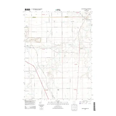
2013 Map of McCutchenville
USGS Topo · Published 2013About this map
The Sandusky River and Tymochtee Creek converge in this northern Ohio landscape, shaping a region defined by its rich agricultural heritage and early 21st-century infrastructure. Small crossroads communities like McCutchenville and Tymochtee remain focal points for local history, while the city of Carey occupies the western edge of the sheet. The map is a significant resource for genealogists, documenting numerous burial sites such as Methodist Cem, Lutheran Cem, and the specialized Infirmary Cem located near the Oh-199 corridor.
Find a feature on this map
102 named features on this map. Tap any name to fly to it.
Don’t see what you’re looking for? This feature index may not catch every label — zoom into the map to look around manually.
Map Details
Editions of this 2013 McCutchenville Map
This is the sole edition of this map. No revisions or reprints were ever made.
Other maps of this area

1901 · Fostoria
USGS Topo · 1:62,500

1903 · Fostoria
USGS Topo · 1:62,500

1906 · Sycamore
USGS Topo · 1:62,500

1906 · Tiffin
USGS Topo · 1:62,500

1907 · Upper Sandusky
USGS Topo · 1:62,500

1950 · Marion
USGS Topo · 1:250,000

1956 · Toledo
USGS Topo · 1:250,000

1960 · Sycamore
USGS Topo · 1:24,000

1960 · Tiffin South
USGS Topo · 1:24,000

1960 · Alvada
USGS Topo · 1:24,000