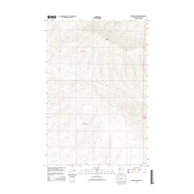
2013 Map of McDonald Spring
USGS Topo · Published 2013About this map
McDonald Spring serves as a focal point in this high-desert landscape of Kittitas County, situated among the ridgelines of the Saddle Mountains. The terrain is defined by a series of drainages that carve through the arid heights, including Foster Cr, Badger Cr, and Hanson Cr. These seasonal watercourses dictate the geography of the region, flowing down from the slopes toward the lower elevations where Lmuma Cr and its northern branch, N Fork Lmuma Cr, traverse the southern sections of the quadrangle. The map captures the area in the early 21st century, showing the grid-like organization of Public Land Survey System townships such as t16n r21e and t15n r21e. This layout reflects the systematic division of the Washington interior, where topographic features like Cottonwood Cr often cross these invisible lines, remaining the primary landmarks for navigation in a territory largely defined by its elevation and hydrology.
Find a feature on this map
11 named features on this map. Tap any name to fly to it.
Don’t see what you’re looking for? This feature index may not catch every label — zoom into the map to look around manually.
Map Details
Editions of this 2013 McDonald Spring Map
This is the sole edition of this map. No revisions or reprints were ever made.
Other maps of this area

1936 · Yakima East
USGS Topo · 1:48,000

1936 · Hog Ranch Buttes
USGS Topo · 1:48,000

1938 · Badger Pocket
USGS Topo · 1:48,000

1939 · Boylston
USGS Topo · 1:48,000

1941 · Black Rock Spring
USGS Topo · 1:62,500

1941 · Yakima East
USGS Topo · 1:62,500

1943 · Boylston
USGS Topo · 1:62,500

1943 · Badger Pocket
USGS Topo · 1:62,500

1950 · Yakima
USGS Topo · 1:250,000

1953 · McDonald Spring
USGS Topo · 1:24,000