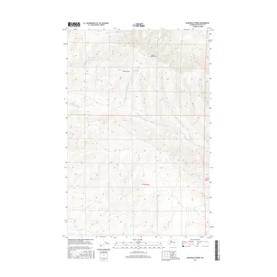
2017 Map of McDonald Spring
USGS Topo · Published 2017About this map
Saddle Mountains dominate the northern landscape of this Kittitas County region, where the high ridge overlooks a complex drainage system essential to this arid environment. The eponymous McDonald Spring is situated high in the northern reaches, serving as a critical water source in the higher elevations. This 2017 survey details the natural hydrology of the area, tracing the pathways of Foster Cr and Badger Cr as they flow through the northern canyons. To the south, the terrain is defined by the headwaters of the Lmuma Creek system, including the N Fork Lmuma Cr and the main stem of Lmuma Cr. These seasonal watercourses, alongside Cottonwood Cr and Hanson Cr, illustrate the intricate relationship between the elevated plateau and the valley floor. The map provides a clear record of the public land survey system, specifically within t16n r21e and t15n r21e.
Find a feature on this map
11 named features on this map. Tap any name to fly to it.
Don’t see what you’re looking for? This feature index may not catch every label — zoom into the map to look around manually.
Map Details
Editions of this 2017 McDonald Spring Map
This is the sole edition of this map. No revisions or reprints were ever made.
Other maps of this area

1936 · Yakima East
USGS Topo · 1:48,000

1936 · Hog Ranch Buttes
USGS Topo · 1:48,000

1938 · Badger Pocket
USGS Topo · 1:48,000

1939 · Boylston
USGS Topo · 1:48,000

1941 · Black Rock Spring
USGS Topo · 1:62,500

1941 · Yakima East
USGS Topo · 1:62,500

1943 · Boylston
USGS Topo · 1:62,500

1943 · Badger Pocket
USGS Topo · 1:62,500

1950 · Yakima
USGS Topo · 1:250,000

1953 · McDonald Spring
USGS Topo · 1:24,000