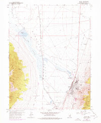
1958 Map of McGill
USGS Topo · Published 1978About this map
Industrial infrastructure and water management define this landscape on the eastern edge of the Egan Range. The town of McGill serves as a focal point for massive mid-century mining operations, dominated by the Copper Smelter and Copper Mill. These facilities are supported by a complex network of utility features, including the Nevada Northern railroad line, several water tanks, and a Radio Mast. The environmental impact of these operations is visible in the expansive Tailings Area and associated Levee systems that occupy the floor of the Steptoe Valley.
Find a feature on this map
40 named features on this map. Tap any name to fly to it.
Don’t see what you’re looking for? This feature index may not catch every label — zoom into the map to look around manually.
Map Details
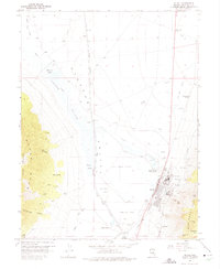
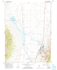
Editions of this 1958 McGill Map
4 editions found
Other maps of this area

1952 · Ely
USGS Topo · 1:125,000

1956 · Ely
USGS Topo · 1:250,000

1958 · McGill
USGS Topo · 1:24,000

1958 · Ruth
USGS Topo · 1:24,000

1958 · East Ely
USGS Topo · 1:24,000

1958 · McGill
USGS Topo · 1:62,500

1959 · Ely
USGS Topo · 1:250,000

1959 · Schell Peaks
USGS Topo · 1:62,500

1963 · Ely
USGS Topo · 1:250,000

1981 · Duck Creek Valley
USGS Topo · 1:24,000