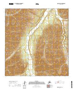
2019 Map of McGrath A-3 NE
USGS Topo · Published 2019About this map
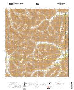
Windy Fork Middle Fork Kuskokwim River dominates the central corridor of this interior Alaska landscape, weaving through a wide, braided valley. To the northwest, the Trimokish Hills provide a distinct topographic boundary, rising sharply above the river system. The map illustrates a section of the Kuskokwim River drainage where the lack of roads or established settlements highlights the remote, untouched nature of the Yukon-Koyukuk region. Researchers can observe the intricate hydrology of the braided riverbed, which characterizes the sediment-rich runoff of the Alaska Range. The grid lines of the t25n r27w and t24n r26w townships provide a structured overlay for this wilderness, marking out the vast public land survey sections in a region defined by its geological and water-driven features.
Find a feature on this map
6 named features on this map. Tap any name to fly to it.
Don’t see what you’re looking for? This feature index may not catch every label — zoom into the map to look around manually.
Map Details
Editions of this 2019 McGrath A-3 NE Map
This is the sole edition of this map. No revisions or reprints were ever made.
Other maps of this area

1949 · McGrath
USGS Topo · 1:250,000

1950 · McGrath
USGS Topo · 1:250,000

1958 · McGrath A-2
USGS Topo · 1:63,360

1958 · McGrath B-2
USGS Topo · 1:63,360

1958 · McGrath A-3
USGS Topo · 1:63,360
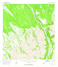
1958 · McGrath B-3
USGS Topo · 1:63,360

1958 · McGrath
USGS Topo · 1:250,000
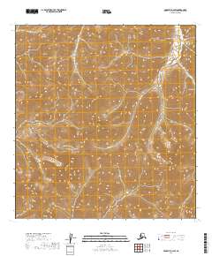
2019 · McGrath B-2 SW
USGS Topo · 1:25,000
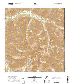
2019 · McGrath A-2 NW
USGS Topo · 1:25,000
2019 · McGrath A-2 SW
USGS Topo · 1:25,000