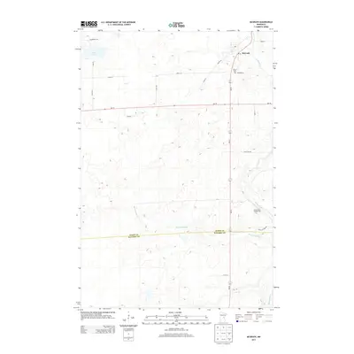
2013 Map of McGrath
USGS Topo · Published 2013About this map
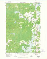
McGrath sits at the northern edge of this Aitkin County landscape, positioned where Old 27 Rd meets the winding Snake River. The settlement is a focal point for the local community, housing the Po and nearby Grace Cem along Cemetery Rd. The surrounding terrain is defined by a complex network of water and wetlands, including Bear Lake and the meandering paths of Bergman Brook and Hay Cr. This modern survey illustrates the transition between rural homesteads and protected natural spaces, with the Snake River Campground offering access to the river's corridor. To the northwest, the Wilderness Trl cuts through more secluded territory, while the southern portion of the map is bisected by the Aitkin Co and Kanabec Co boundary line, marking the limit of the township's reach into the neighboring woods.
Find a feature on this map
27 named features on this map. Tap any name to fly to it.
Don’t see what you’re looking for? This feature index may not catch every label — zoom into the map to look around manually.
Map Details
Editions of this 2013 McGrath Map
This is the sole edition of this map. No revisions or reprints were ever made.
Other maps of this area

1953 · Duluth
USGS Topo · 1:250,000

1958 · Duluth
USGS Topo · 1:250,000
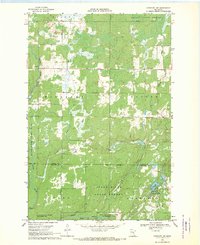
1968 · Kroschel NW
USGS Topo · 1:24,000
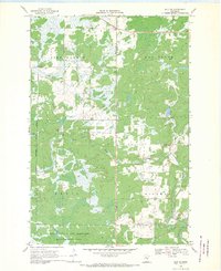
1968 · Isle SW
USGS Topo · 1:24,000
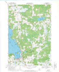
1968 · Isle
USGS Topo · 1:24,000
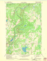
1968 · Pomroy Lake
USGS Topo · 1:24,000
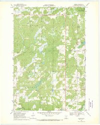
1968 · Warman
USGS Topo · 1:24,000
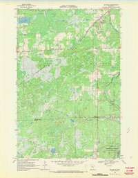
1968 · Mc Grath
USGS Topo · 1:24,000
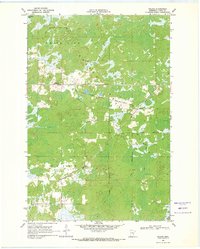
1969 · Solana
USGS Topo · 1:24,000
1969 · Thor SE
USGS Topo · 1:24,000