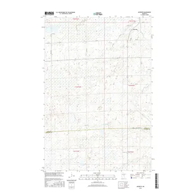
2016 Map of McGrath
USGS Topo · Published 2016About this map
McGrath serves as the primary settlement in this northern Minnesota landscape, situated near the headwaters of the Snake River. The map reveals a transition between the marshy lowlands of the Bergman Brook drainage and the established local road network that connects rural farmsteads. To the north, Bear Lake and its surrounding wetlands feed into Bear Cr, highlighting the water-rich geography of the region. Local history is anchored by Grace Cem, while the county line between Aitkin Co and Kanabec Co marks the southern boundary of the quadrangle. The survey details the late 20th-century development of local infrastructure, from the rural route of Old 27 Rd to the recreational access provided by Aitkin-Co Park Rd.
Find a feature on this map
28 named features on this map. Tap any name to fly to it.
Don’t see what you’re looking for? This feature index may not catch every label — zoom into the map to look around manually.
Map Details
Editions of this 2016 McGrath Map
This is the sole edition of this map. No revisions or reprints were ever made.
Other maps of this area

1953 · Duluth
USGS Topo · 1:250,000

1958 · Duluth
USGS Topo · 1:250,000

1968 · Kroschel NW
USGS Topo · 1:24,000

1968 · Isle SW
USGS Topo · 1:24,000

1968 · Isle
USGS Topo · 1:24,000

1968 · Pomroy Lake
USGS Topo · 1:24,000

1968 · Warman
USGS Topo · 1:24,000

1968 · Mc Grath
USGS Topo · 1:24,000

1969 · Solana
USGS Topo · 1:24,000

1969 · Thor SE
USGS Topo · 1:24,000