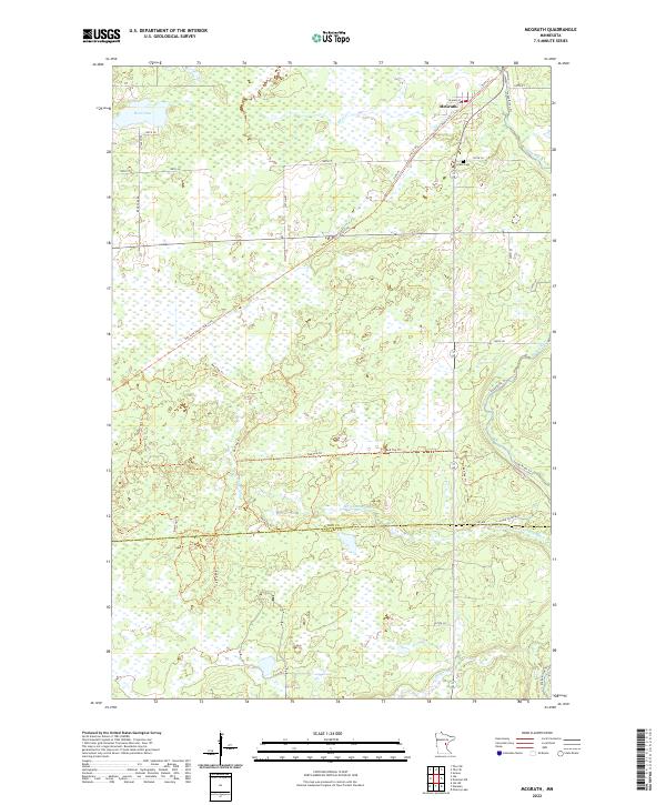
2022 Map of McGrath
USGS Topo · Published 2022About this map
McGrath serves as the primary settlement in this northern Minnesota landscape, situated where the Soo Line South: Aitkin Trl cuts across the terrain. This trail, following a former rail corridor, reflects the region's historical reliance on timber and rail transport. The survey highlights a wet, low-lying environment dominated by drainage systems like the Snake River and Bergman Brook, along with smaller water bodies such as Bear Lake. Local history is anchored at Grace Cem south of the main town site, while a network of recreational paths including the Snake River Trl and Red Top Trl suggests a modern transition toward conservation and outdoor use. The map also clearly delineates the administrative boundary between Aitkin Co and Kanabec Co, providing a clear view of how these remote townships are organized.
Find a feature on this map
31 named features on this map. Tap any name to fly to it.
Don’t see what you’re looking for? This feature index may not catch every label — zoom into the map to look around manually.
Map Details
Editions of this 2022 McGrath Map
This is the sole edition of this map. No revisions or reprints were ever made.
Other maps of this area

1953 · Duluth
USGS Topo · 1:250,000

1958 · Duluth
USGS Topo · 1:250,000

1968 · Kroschel NW
USGS Topo · 1:24,000

1968 · Isle SW
USGS Topo · 1:24,000

1968 · Isle
USGS Topo · 1:24,000

1968 · Pomroy Lake
USGS Topo · 1:24,000

1968 · Warman
USGS Topo · 1:24,000

1968 · Mc Grath
USGS Topo · 1:24,000

1969 · Solana
USGS Topo · 1:24,000

1969 · Thor SE
USGS Topo · 1:24,000