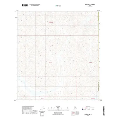
2017 Map of McGrath B-1 NE
USGS Topo · Published 2017About this map
The Jones River winds through this high-altitude landscape of the Alaska interior, serving as the dominant hydrologic feature across a vast expanse of undeveloped terrain. Located at the boundary between the Yukon-Koyukuk Census Area and the Matanuska-Susitna Borough, the map illustrates a complex series of drainage patterns and elevation changes. In the southeastern corner, the Tatlina River makes a brief appearance, cutting through the lower slopes. The topography is defined by significant vertical relief, where steep ridges and deep valleys dictate the movement of water and would historicaly have guided any overland travel or prospecting efforts in the region. This 2017 study details the precise geographic coordinates of the Public Land Survey System, including t28n r21w and t27n r20w, providing a structural grid for this remote wilderness.
Find a feature on this map
10 named features on this map. Tap any name to fly to it.
Don’t see what you’re looking for? This feature index may not catch every label — zoom into the map to look around manually.
Map Details
Editions of this 2017 McGrath B-1 NE Map
This is the sole edition of this map. No revisions or reprints were ever made.
Other maps of this area

1949 · McGrath
USGS Topo · 1:250,000

1950 · McGrath
USGS Topo · 1:250,000

1950 · Talkeetna
USGS Topo · 1:250,000

1951 · Talkeetna
USGS Topo · 1:250,000

1958 · Talkeetna B-6
USGS Topo · 1:63,360

1958 · Talkeetna C-6
USGS Topo · 1:63,360

1958 · McGrath B-1
USGS Topo · 1:63,360

1958 · McGrath C-1
USGS Topo · 1:63,360

1958 · Talkeetna
USGS Topo · 1:250,000

1958 · McGrath
USGS Topo · 1:250,000