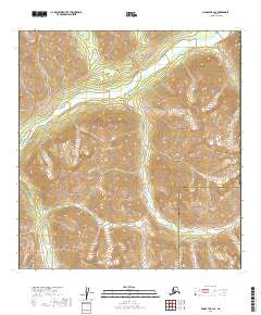
2019 Map of McGrath B-1 SE
USGS Topo · Published 2019About this map
The Alaska Range dominates this landscape in the eastern interior, where high mountain ridges define the headwaters of several critical glacial drainage systems. The Tatina River cuts a significant valley through the center of the sheet, joined in the northeast by the Earl River. This 2019 survey documents the wild hydrography of the region before modern development, tracing the steep descent of Dalzell Cr through the southwestern peaks. The map also delineates the administrative boundary between the Yukon-Koyukuk Census Area and Bethel Census Area, providing a precise record of these remote census divisions in the early twenty-first century. For researchers and geographers, the topographic contours illustrate the complex glacial carving and high-altitude terrain that separates these two vast Alaskan districts.
Find a feature on this map
9 named features on this map. Tap any name to fly to it.
Don’t see what you’re looking for? This feature index may not catch every label — zoom into the map to look around manually.
Map Details
Editions of this 2019 McGrath B-1 SE Map
This is the sole edition of this map. No revisions or reprints were ever made.
Other maps of this area

1949 · McGrath
USGS Topo · 1:250,000

1950 · McGrath
USGS Topo · 1:250,000

1950 · Talkeetna
USGS Topo · 1:250,000

1951 · Talkeetna
USGS Topo · 1:250,000

1958 · Talkeetna A-6
USGS Topo · 1:63,360

1958 · Talkeetna B-6
USGS Topo · 1:63,360

1958 · McGrath B-1
USGS Topo · 1:63,360

1958 · McGrath A-1
USGS Topo · 1:63,360

1958 · Talkeetna
USGS Topo · 1:250,000

1958 · McGrath
USGS Topo · 1:250,000