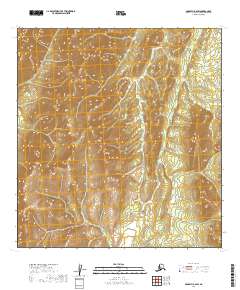
2019 Map of McGrath B-6 SW
USGS Topo · Published 2019About this map
First Fork Selatna River snakes through the high-elevation interior of the Yukon-Koyukuk region, defining the primary drainage pattern of this sub-arctic landscape. This 2019 survey documents the complex topography of the Alaska interior, where the land is divided by the Public Land Survey System into townships like t26n r36w and t26n r35w. The map reveals a high-relief environment dominated by steep ridges and deep valleys, captured using 10-foot contour intervals that show the fine-grained physical geography of the First Fork Selatna River basin. In a region with no established road network or permanent settlements, these hydrological features and survey boundaries remain the primary landmarks for navigation and land management.
Find a feature on this map
5 named features on this map. Tap any name to fly to it.
Don’t see what you’re looking for? This feature index may not catch every label — zoom into the map to look around manually.
Map Details
Editions of this 2019 McGrath B-6 SW Map
This is the sole edition of this map. No revisions or reprints were ever made.
Other maps of this area

1949 · McGrath
USGS Topo · 1:250,000

1950 · McGrath
USGS Topo · 1:250,000

1951 · Iditarod
USGS Topo · 1:250,000

1954 · Iditarod B-1
USGS Topo · 1:63,360

1954 · Iditarod A-1
USGS Topo · 1:63,360

1954 · McGrath B-6
USGS Topo · 1:63,360
1954 · McGrath A-6
USGS Topo · 1:63,360

1956 · Iditarod
USGS Topo · 1:250,000

1958 · McGrath
USGS Topo · 1:250,000
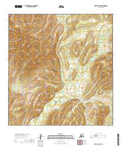
2019 · McGrath A-6 NW
USGS Topo · 1:25,000