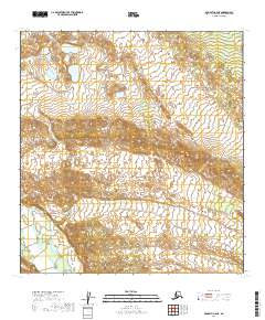
2019 Map of McGrath C-2 NE
USGS Topo · Published 2019About this map
The South Fork Kuskokwim River defines the western edge of this interior landscape, marking a transition from the lower river valley into higher elevation. This 2019 survey of the Yukon-Koyukuk Census Area reveals a territory largely defined by its natural water patterns and land survey grid, including T31n R24w and T30n R23w. The terrain is characterized by numerous small lakes and ponds in the north, giving way to more complex ridgelines toward the south. Without established roads or settlements recorded, the map highlights the intricate drainage systems and unnamed water bodies that dominate this remote part of the McGrath region.
Find a feature on this map
7 named features on this map. Tap any name to fly to it.
Don’t see what you’re looking for? This feature index may not catch every label — zoom into the map to look around manually.
Map Details
Editions of this 2019 McGrath C-2 NE Map
This is the sole edition of this map. No revisions or reprints were ever made.
Other maps of this area

1949 · McGrath
USGS Topo · 1:250,000

1950 · McGrath
USGS Topo · 1:250,000

1958 · McGrath D-2
USGS Topo · 1:63,360

1958 · McGrath C-1
USGS Topo · 1:63,360

1958 · McGrath C-2
USGS Topo · 1:63,360

1958 · McGrath D-1
USGS Topo · 1:63,360

1958 · McGrath
USGS Topo · 1:250,000
2019 · McGrath D-2 SE
USGS Topo · 1:25,000

2019 · McGrath D-1 SW
USGS Topo · 1:25,000
2019 · McGrath C-2 SW
USGS Topo · 1:25,000