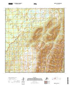
2019 Map of McGrath C-4 SW
USGS Topo · Published 2019About this map
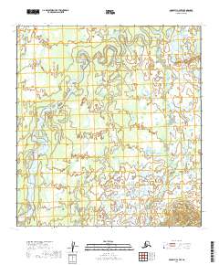
Lone Mtn dominates the eastern half of this interior Alaskan landscape, serving as a prominent landmark amidst a complex network of wetlands and small water bodies. The terrain transitions from the elevated, contour-rich slopes of the mountain down toward the low-lying, lake-dotted flats in the north and west. This 2019 survey documents the wild topography of the Yukon-Koyukuk Census Area, illustrating a region defined by its natural drainage patterns and the absence of established road infrastructure. The map provides a detailed view of the township and range divisions, including t29n r30w and t28n r30w, which organize this portion of the vast Alaskan wilderness near the headwaters of regional river systems.
Find a feature on this map
6 named features on this map. Tap any name to fly to it.
Don’t see what you’re looking for? This feature index may not catch every label — zoom into the map to look around manually.
Map Details
Editions of this 2019 McGrath C-4 SW Map
This is the sole edition of this map. No revisions or reprints were ever made.
Other maps of this area

1949 · McGrath
USGS Topo · 1:250,000

1950 · McGrath
USGS Topo · 1:250,000

1953 · McGrath C-4
USGS Topo · 1:63,360

1954 · McGrath B-4
USGS Topo · 1:63,360

1954 · McGrath B-5
USGS Topo · 1:63,360
1955 · McGrath C-5
USGS Topo · 1:63,360

1958 · McGrath
USGS Topo · 1:250,000
2019 · McGrath C-5 NE
USGS Topo · 1:25,000
2019 · McGrath B-4 NW
USGS Topo · 1:25,000
2019 · McGrath C-4 NW
USGS Topo · 1:25,000