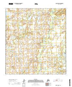
2019 Map of McGrath D-5 SE
USGS Topo · Published 2019About this map
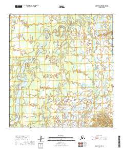
Blackwater Cr meanders through this portion of the Yukon-Koyukuk Census Area, defining a landscape of complex water networks and low-lying terrain typical of the Alaska interior. This 2019 survey by the U.S. Geological Survey details a region dominated by intricate hydrology, where countless small lakes and ponds are scattered across the township boundaries of T31n R31w, T31n R32w, T32n R31w, and T32n R32w. The map provides a clear look at the natural drainage patterns and topographical contours of this unsettled wilderness area, capturing the state of the terrain as it appeared in the early twenty-first century. For researchers and geographers, the sheet offers a precise record of the shifting course of inland waterways in an environment shaped by seasonal freeze and thaw.
Find a feature on this map
5 named features on this map. Tap any name to fly to it.
Don’t see what you’re looking for? This feature index may not catch every label — zoom into the map to look around manually.
Map Details
Editions of this 2019 McGrath D-5 SE Map
This is the sole edition of this map. No revisions or reprints were ever made.
Other maps of this area

1949 · McGrath
USGS Topo · 1:250,000

1950 · McGrath
USGS Topo · 1:250,000

1953 · McGrath D-5
USGS Topo · 1:63,360

1953 · McGrath C-4
USGS Topo · 1:63,360

1953 · McGrath D-4
USGS Topo · 1:63,360
1955 · McGrath C-5
USGS Topo · 1:63,360

1958 · McGrath
USGS Topo · 1:250,000
2019 · McGrath D-5 NW
USGS Topo · 1:25,000
2019 · McGrath C-5 NE
USGS Topo · 1:25,000
2019 · McGrath C-4 NW
USGS Topo · 1:25,000