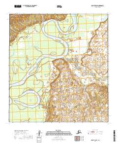
2019 Map of McGrath D-6 SE
USGS Topo · Published 2019About this map
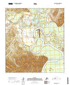
The Kuskokwim River dominates this portion of the interior, carving a massive, sinuous meander across the landscape. The river's path defines the low-lying terrain, creating features like Harrell Island and the adjacent Wilson Lake. To the northwest, the elevation rises sharply into the Roundabout Mountains, providing a stark topographic contrast to the surrounding marshlands and river plains.
Find a feature on this map
12 named features on this map. Tap any name to fly to it.
Don’t see what you’re looking for? This feature index may not catch every label — zoom into the map to look around manually.
Map Details
Editions of this 2019 McGrath D-6 SE Map
This is the sole edition of this map. No revisions or reprints were ever made.
Other maps of this area

1949 · McGrath
USGS Topo · 1:250,000

1950 · McGrath
USGS Topo · 1:250,000

1953 · McGrath D-5
USGS Topo · 1:63,360

1954 · McGrath D-6
USGS Topo · 1:63,360

1954 · McGrath C-6
USGS Topo · 1:63,360
1955 · McGrath C-5
USGS Topo · 1:63,360

1958 · McGrath
USGS Topo · 1:250,000
2019 · McGrath D-5 NW
USGS Topo · 1:25,000
2019 · McGrath C-6 NE
USGS Topo · 1:25,000
2019 · McGrath D-6 NE
USGS Topo · 1:25,000