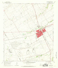
1965 Map of McGregor
USGS Topo · Published 1969About this map
McGregor serves as a critical junction for the Central Texas rail network in the mid-1960s, defined by the crossing of the St Louis Southwestern and the Atchison Topeka and Santa Fe railroads. The town's layout includes civic landmarks like the High Sch and a local Cem, while the surrounding landscape is dominated by the sprawling footprint of the Naval Industrial Reserve Ordinance Plant to the south. This military-industrial presence, situated along the South Bosque River, marks a significant era of government investment in McLennan County. Beyond the urban grid, the map records rural features such as the Comanche Springs Cemetery and the Texas A and M University Research Center, illustrating the region's dual identity as both an agricultural hub and a center for strategic industry. The terrain is crisscrossed by several waterways including Pecan Creek and Wasp Creek.
Find a feature on this map
21 named features on this map. Tap any name to fly to it.
Don’t see what you’re looking for? This feature index may not catch every label — zoom into the map to look around manually.
Map Details
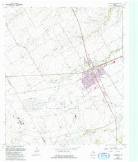
Editions of this 1965 McGregor Map
2 editions found
Other maps of this area

1888 · Meridian
USGS Topo · 1:125,000

1892 · Temple
USGS Topo · 1:125,000

1892 · Waco
USGS Topo · 1:125,000

1894 · Meridian
USGS Topo · 1:125,000

1894 · Gatesville
USGS Topo · 1:125,000

1920 · Waco
USGS Topo · 1:125,000

1924 · Waco 3-d
USGS Topo · 1:48,000

1924 · Temple 2-C
USGS Topo · 1:48,000

1931 · Valley Mills
USGS Topo · 1:62,500

1931 · Mc Gregor
USGS Topo · 1:62,500