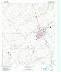
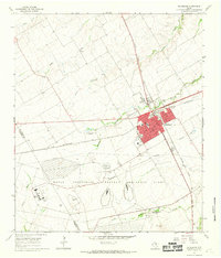
1965 Map of McGregor
USGS Topo · Published 1993About this map
McGregor sits at the heart of this landscape, a hub of activity defined by its residential blocks and public spaces like Amsler Park and Bluebonnet Park. To the south, the expansive Naval Weapons Industrial Reserve Plant dominates the terrain, illustrating the significant federal and industrial presence in this part of McLennan County during the mid-20th century. This industrial site, alongside the Texas A and M University Agricultural Research Center, highlights the dual focus on defense and agricultural science that shaped the local economy.
Find a feature on this map
28 named features on this map. Tap any name to fly to it.
Don’t see what you’re looking for? This feature index may not catch every label — zoom into the map to look around manually.
Map Details
Editions of this 1965 McGregor Map
2 editions found
Other maps of this area

1888 · Meridian
USGS Topo · 1:125,000

1892 · Temple
USGS Topo · 1:125,000

1892 · Waco
USGS Topo · 1:125,000

1894 · Meridian
USGS Topo · 1:125,000

1894 · Gatesville
USGS Topo · 1:125,000

1920 · Waco
USGS Topo · 1:125,000

1924 · Waco 3-d
USGS Topo · 1:48,000

1924 · Temple 2-C
USGS Topo · 1:48,000

1931 · Valley Mills
USGS Topo · 1:62,500

1931 · Mc Gregor
USGS Topo · 1:62,500