
2013 Map of McHan Reservoir
USGS Topo · Published 2013About this map
Mount Bennett Hills and the striking geologic formations of the Little City of Rocks dominate this high-desert landscape in Southern Idaho. The map reveals a drainage network defined by McKinney Cr, Schooley Cr, and Thorn Cr, which cut through deep ravines such as Burnt Willow Canyon and Rattlesnake Canyon. This area is marked by numerous water sources critical for high-country grazing, including Hash Spring, Mud Spring, and Bull Spring, alongside the McHan Reservoir in the northern reaches. The Camas and Gooding County boundary bisects the quadrangle, primarily following Fir Grove Rd, while prominent landmarks like Flat Top Butte and Johnson Hill provide orientation across the sagebrush-dotted terrain.
Find a feature on this map
26 named features on this map. Tap any name to fly to it.
Don’t see what you’re looking for? This feature index may not catch every label — zoom into the map to look around manually.
Map Details
Editions of this 2013 McHan Reservoir Map
This is the sole edition of this map. No revisions or reprints were ever made.
Other maps of this area

1955 · Hailey
USGS Topo · 1:250,000
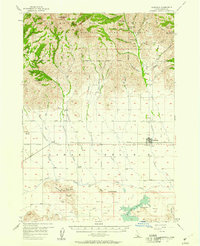
1957 · Fairfield
USGS Topo · 1:62,500
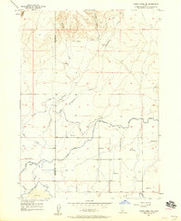
1957 · Thorn Creek SE
USGS Topo · 1:24,000
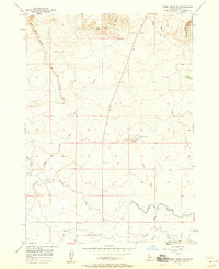
1957 · Thorn Creek SW
USGS Topo · 1:24,000
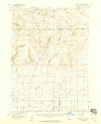
1957 · Thorn Creek
USGS Topo · 1:62,500
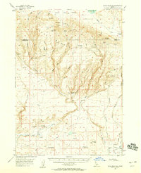
1957 · Davis Mountain
USGS Topo · 1:62,500
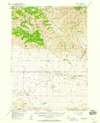
1957 · Blaine
USGS Topo · 1:62,500

1959 · Hailey
USGS Topo · 1:250,000

1962 · Hailey
USGS Topo · 1:250,000
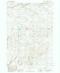
1986 · Thorn Creek Reservoir
USGS Topo · 1:24,000