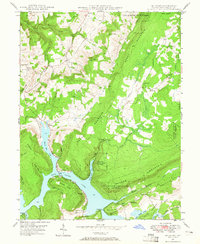
1947 Map of McHenry
USGS Topo · Published 1965About this map
Deep Creek Lake dominates the central landscape of this Maryland survey, its western shoreline defined by Marsh Hill and the intricate inlets of Marsh Run Cove and Red Run Cove. The map documents a period before extensive modern development, highlighting the rural character of communities like McHenry and Thayerville. The high ridges of Negro Mountain and Meadow Mountain flank the water, creating a natural corridor for the Thayer State Game Refuge. To the north, the terrain transitions into agricultural and forest land, where the settlement of Accident and landmarks like the Thayerville Lookout Tower mark the high ground. Local genealogy is well-served by the presence of small rural institutions, including the Beachy Sch, Gasselman Sch, and several houses of worship such as Glade Ch and Glendale Ch.
Find a feature on this map
52 named features on this map. Tap any name to fly to it.
Don’t see what you’re looking for? This feature index may not catch every label — zoom into the map to look around manually.
Map Details
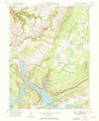
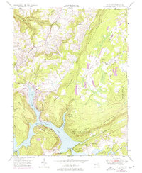
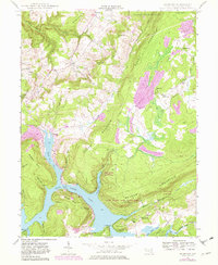
Editions of this 1947 McHenry Map
4 editions found
Other maps of this area

1895 · Piedmont
USGS Topo · 1:125,000

1899 · Grantsville
USGS Topo · 1:62,500

1899 · Oakland
USGS Topo · 1:62,500

1900 · Accident
USGS Topo · 1:62,500

1900 · Oakland
USGS Topo · 1:62,500

1904 · Grantsville
USGS Topo · 1:62,500

1919 · Elk Garden
USGS Topo · 1:48,000

1920 · Elk Garden
USGS Topo · 1:48,000

1922 · Elk Garden
USGS Topo · 1:62,500

1946 · Grantsville
USGS Topo · 1:24,000