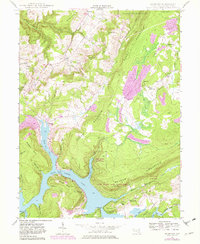
1947 Map of McHenry
USGS Topo · Published 1982About this map
Deep Creek Lake dominates this Garrett County landscape, its winding shoreline and numerous coves like Marsh Run Cove and Cherry Creek Cove defining the local geography. The map captures the area during a period of transition as recreational infrastructure, such as McComas Beach and a Trailer Park near Glendale Ch, began to cluster around the reservoir. Inland, the settlements of McHenry and Accident serve as hubs for the surrounding highland communities.
Find a feature on this map
52 named features on this map. Tap any name to fly to it.
Don’t see what you’re looking for? This feature index may not catch every label — zoom into the map to look around manually.
Map Details
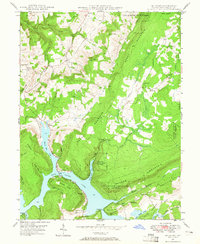
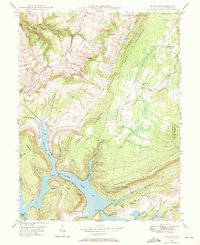
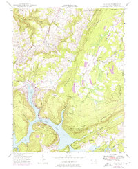
Editions of this 1947 McHenry Map
4 editions found
Other maps of this area

1895 · Piedmont
USGS Topo · 1:125,000

1899 · Grantsville
USGS Topo · 1:62,500

1899 · Oakland
USGS Topo · 1:62,500

1900 · Accident
USGS Topo · 1:62,500

1900 · Oakland
USGS Topo · 1:62,500

1904 · Grantsville
USGS Topo · 1:62,500

1919 · Elk Garden
USGS Topo · 1:48,000

1920 · Elk Garden
USGS Topo · 1:48,000

1922 · Elk Garden
USGS Topo · 1:62,500

1946 · Grantsville
USGS Topo · 1:24,000