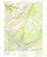
1947 Map of McHenry
USGS Topo · Published 1971About this map
Deep Creek Lake dominates the central landscape of this western Maryland survey, winding through the valleys between Negro Mountain and Marsh Hill. The 1940s shoreline reflects a maturing recreational and water-resource landscape, with early developments like McComas Beach and the Thayerville settlement taking shape. Significant public lands, including the Thayer State Game Refuge and the Savage River State Forest, define the eastern and northern reaches, preserving the high ridges of the Alleghenies. In the rural uplands, evidence of established community life appears in the form of local institutions like Beachy Sch and Casselman Sch, alongside Glendale Ch and Glade Ch. The map records the early road network that connected these remote points, including the Deep Creek Bridge and Glendale Bridge, as well as the prominence of the Thayerville Lookout Tower on Meadow Mountain.
Find a feature on this map
58 named features on this map. Tap any name to fly to it.
Don’t see what you’re looking for? This feature index may not catch every label — zoom into the map to look around manually.
Map Details
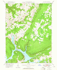
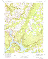
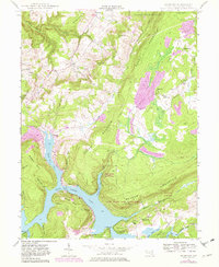
Editions of this 1947 McHenry Map
4 editions found
Other maps of this area

1895 · Piedmont
USGS Topo · 1:125,000

1899 · Grantsville
USGS Topo · 1:62,500

1899 · Oakland
USGS Topo · 1:62,500

1900 · Accident
USGS Topo · 1:62,500

1900 · Oakland
USGS Topo · 1:62,500

1904 · Grantsville
USGS Topo · 1:62,500

1919 · Elk Garden
USGS Topo · 1:48,000

1920 · Elk Garden
USGS Topo · 1:48,000

1922 · Elk Garden
USGS Topo · 1:62,500

1946 · Grantsville
USGS Topo · 1:24,000